
Field photograph·Csn3115·1927–1931
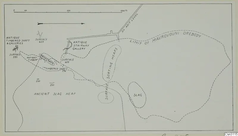
Plan and elevations of ancient workings at Mavrovouni
Description
A line drawing plan of a mine site with a scale bar along the top. Dashed lines mark a boundary and the edge of a slag heap, with written labels for surface points, a shaft, a stairway gallery and several heaps. A drawn level runs in from the upper right, and small symbols mark shafts and galleries on the left.
English, translated from the original record
Plan and elevations of ancient workings at Mavrovouni, a map and drawing with text.
More from Mavrovouni
7 items in the archive
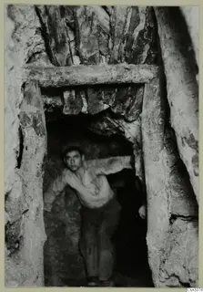 Csn3074Cypriote mining at Mavrovouni: ancient underground with timber supports
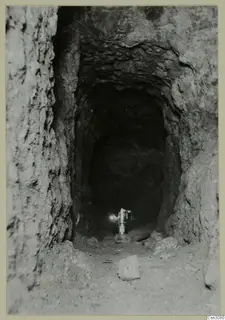 Csn3080Ancient untimbered gallery at Mavrovouni
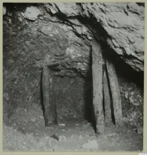 Csn3082Cypriote Mining, Mavrovouni: ancient open stope
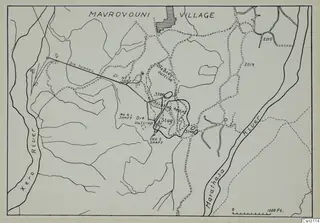 Csn3114Plan of orebody with ancient slag piles at Mavrovouni
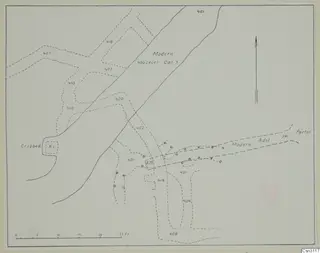 Csn3117Plan and elevations of ancient workings on the 400 ft level at Mavrovouni
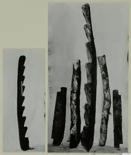 Csn3095Ancient ladders at Mavrovouni, Cypriote mining
Photographs: Swedish Cyprus Expedition, Medelhavsmuseet, Stockholm (CC0)