
Field photograph·Csn3114·1927–1931
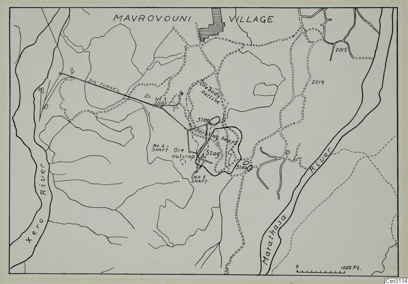
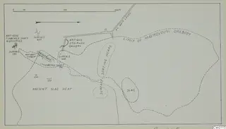
Plan of orebody with ancient slag piles at Mavrovouni
Description
A line map of the orebody at Mavrovouni shown as an outline near the centre with several slag heaps marked around it. A long tunnel line runs diagonally from the left to a shaft, with other shafts, dashed tracks and two rivers marked along the sides. A scale bar in feet sits at the lower right, and the village name is written across the top.
English, translated from the original record
Plan of the orebody at Mavrovouni with ancient slag piles.
More from Mavrovouni
7 items in the archive
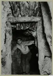 Csn3074Cypriote mining at Mavrovouni: ancient underground with timber supports
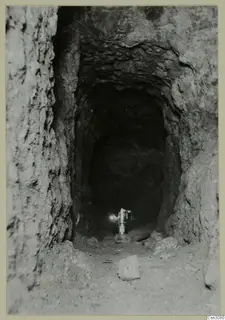 Csn3080Ancient untimbered gallery at Mavrovouni
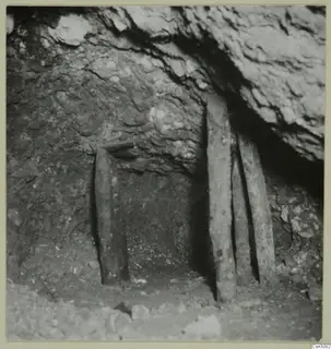 Csn3082Cypriote Mining, Mavrovouni: ancient open stope
 Csn3115Plan and elevations of ancient workings at Mavrovouni
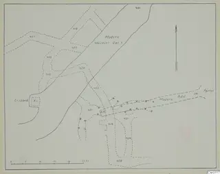 Csn3117Plan and elevations of ancient workings on the 400 ft level at Mavrovouni
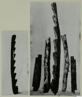 Csn3095Ancient ladders at Mavrovouni, Cypriote mining
Photographs: Swedish Cyprus Expedition, Medelhavsmuseet, Stockholm (CC0)