
Field photograph·C01762·1929–30
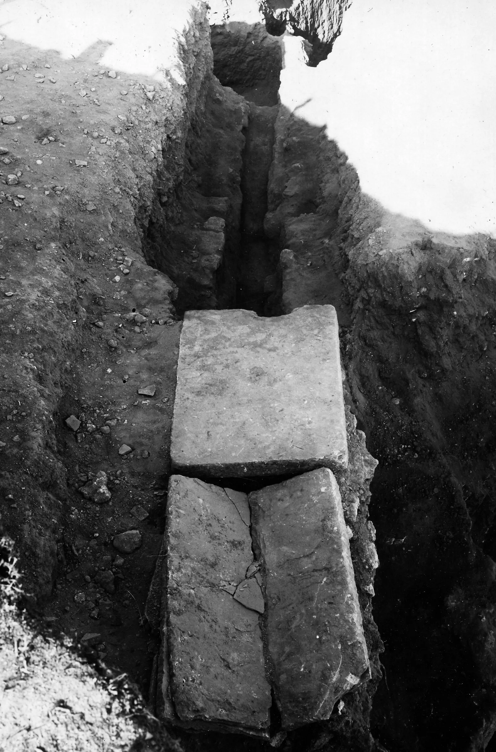
Roman water channel, plan at Kition
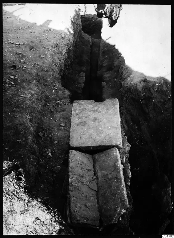
Description
A narrow excavation trench runs away from the viewer, with earthen sides showing layers of soil. Three large flat stone slabs lie across the channel, one at the far end and two side by side nearer the camera. Small stones are scattered over the ground surface at the left.
Other scans of this record (2)
 Full resolution
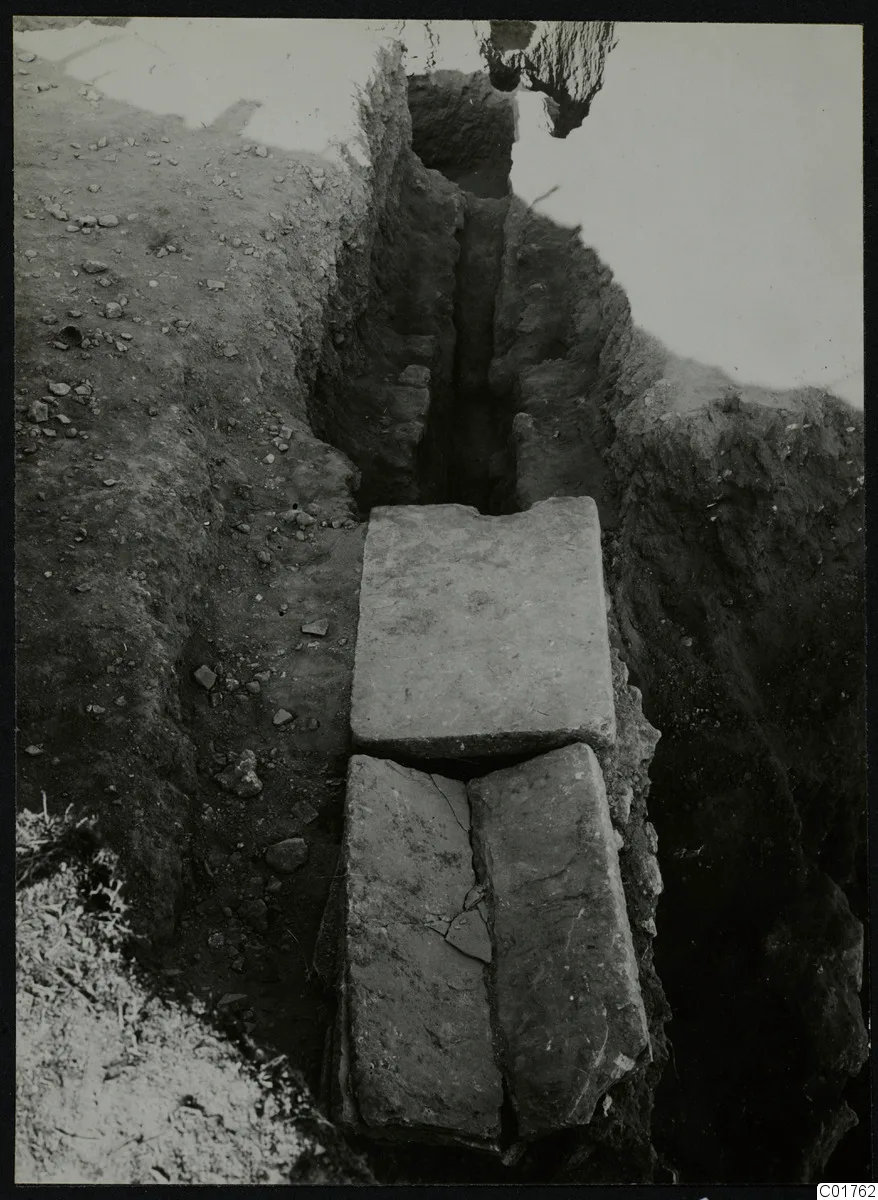
- Description, scan 2
- A narrow excavated trench runs away from the camera, with earth sides and a channel beneath three large flat stone slabs. Two slabs lie side by side at the near end, one cracked, and a third lies above them further back. Loose stones and pebbles lie on the ground at the left edge.
- Description, scan 3
- Looking down a narrow excavation trench with steep earth sides, a channel runs away from the camera. Three large flat stone slabs cover it in the foreground, one set across the top and two side by side below, with a crack in the lower pair. Loose stones and soil lie on the ground at the left, and the channel's inner walls are visible beyond the slabs.
English, translated from the Swedish record
Roman water channel, plan. Kition.
Swedish, as on the record
Romersk vattenränna, plan. Kition. Svenska Cypernexpeditionen
More from Kition
369 items in the archiveThe site →
 C01711Kition, Bamboula from the south
 C01714Bamboula from the east, Kition
 C01717Kristos and Alfred Westholm excavating at Kition
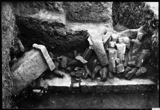 C01719Kition cult room, statues in situ
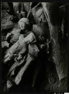 C01726The cult room at Kition, the big deposit: detail of sculptures, bodies and heads
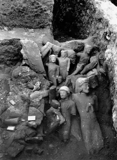 C01728Cult room, large deposit at Kition, detail with larger sculptures
Photographs: Swedish Cyprus Expedition, Medelhavsmuseet, Stockholm (CC0)