
Locality · Sheet 9
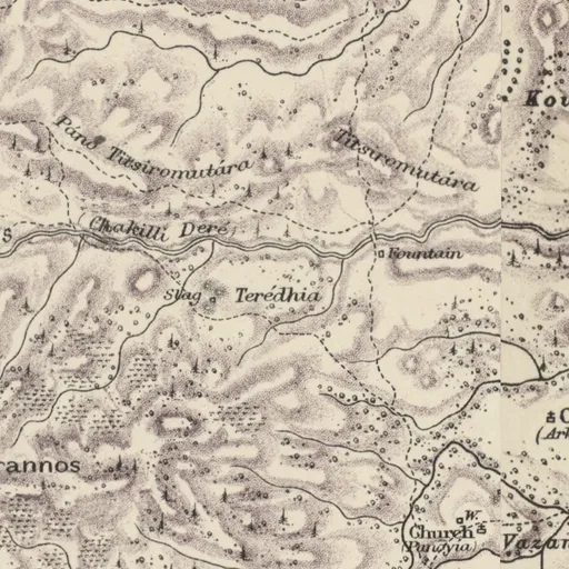
Terédhia
- Lands and Surveys
- Teredhia
- Spellings in our records
- Teredhia
- Site
- Lythrodontas-Teredhia
Nearby on the sheet
Villages within 3 km
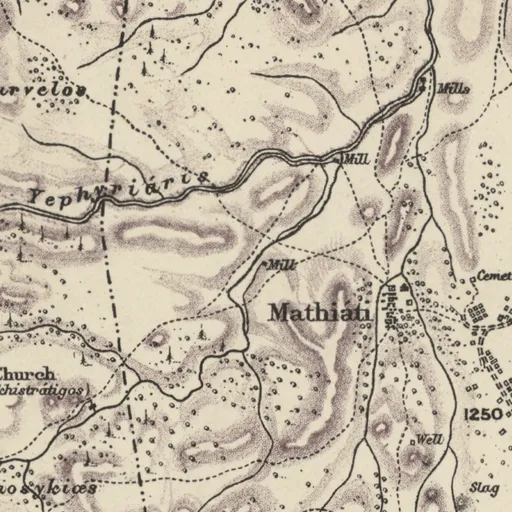
- Lythrodónda · village2.2 km SE
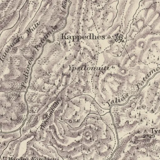
- Kappédhes · village2.9 km W
Distances are straight lines between the positions of the names on the sheet.
Our records that name the place
Records are matched to this place by name and position; a record may mean another place of the same name.
Excavations1 excavation
Documents3 documents
People2 people
Sources
- Map
- H. H. Kitchener, Trigonometrical Survey of Cyprus, 1 inch to 1 mile, 1882 (scans: National Library of Scotland, CC BY)
- 1881 census
- 1881 census places: Harokopio University, Mendeley Data 10.17632/dvvm9cns2x.2 (CC BY 4.0)
- Lands and Surveys
- Department of Lands and Surveys, Geographical Names and Localities (INSPIRE), data.gov.cy (CC BY 4.0)
- Greek names
- Greek names: Wikidata (CC0); romanised by ELOT 743
- GeoNames
- Greek names where Wikidata has none, and other modern names: GeoNames, geonames.org (CC BY 4.0)
- Toponyms
- Department of Lands and Surveys, Toponyms (cadastral map layer 19), data.gov.cy dataset 157 (CC BY 4.0)
All the names on the sheets: Place names on Kitchener's map