
Plan·16 Fi 2-0374·1967
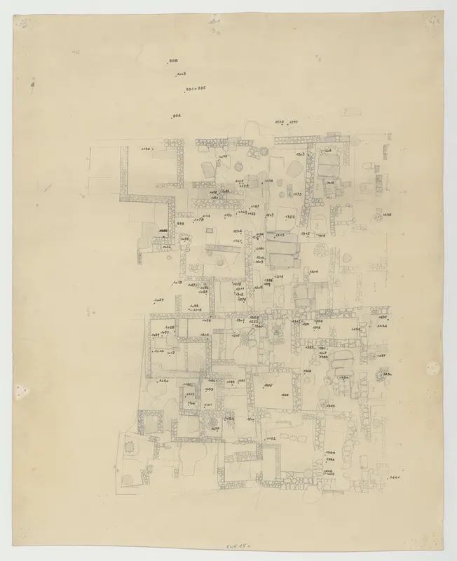
Sector 4E. Plan with points
English, translated from the French record
Pencil and ink plan of Sector 4E at Enkomi, Cyprus, dated 1967, showing points in the built tomb area of 1966–1967 in the East Quarter 4. The drawing is on one leaf of paper, 51 cm × 41 cm.
The Collège de France's catalogue entry (French)
Secteur 4E. Plan avec points Quartier 4 Est, zone de tombes bâties (zone de 1966-1967) Ancienne cote : ENK. 15a
Corrections and additions
Can you tell us more about this?
If you can identify, date or place this item, or know where else it is recorded, we would like to hear.
We would like to hear about
- What it shows or records
- Its date, place or author
- Where else it is published or held
- A mistake in our description
Tell us if you would like to be thanked by name on the page.
More from Enkomi
2,488 items in the archiveThe site →
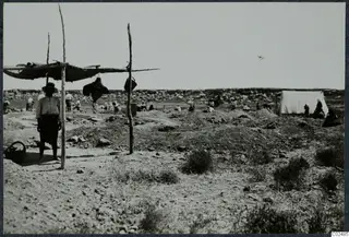 C02485Field photograph at Enkomi
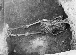 C02488Earth tomb at Enkomi
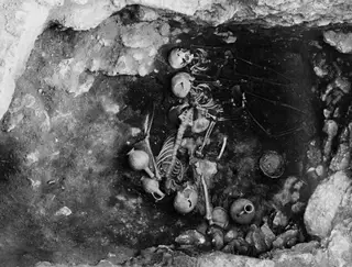 C02510Tomb 14 at Enkomi, interior
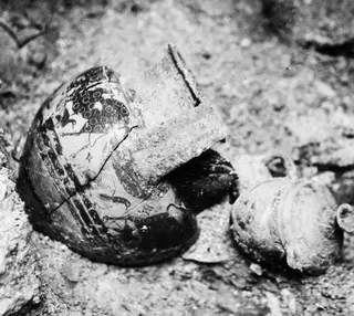 C02561Tomb 18 at Enkomi, interior of side chamber
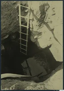 C02565Tomb 18 at Enkomi, the shaft seen from above
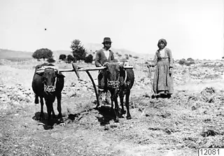 C08219Threshing at Enkomi
Photographs: Swedish Cyprus Expedition, Medelhavsmuseet, Stockholm (CC0)