
Unnumbered pageScan 85 of 133
Continued from p. 83
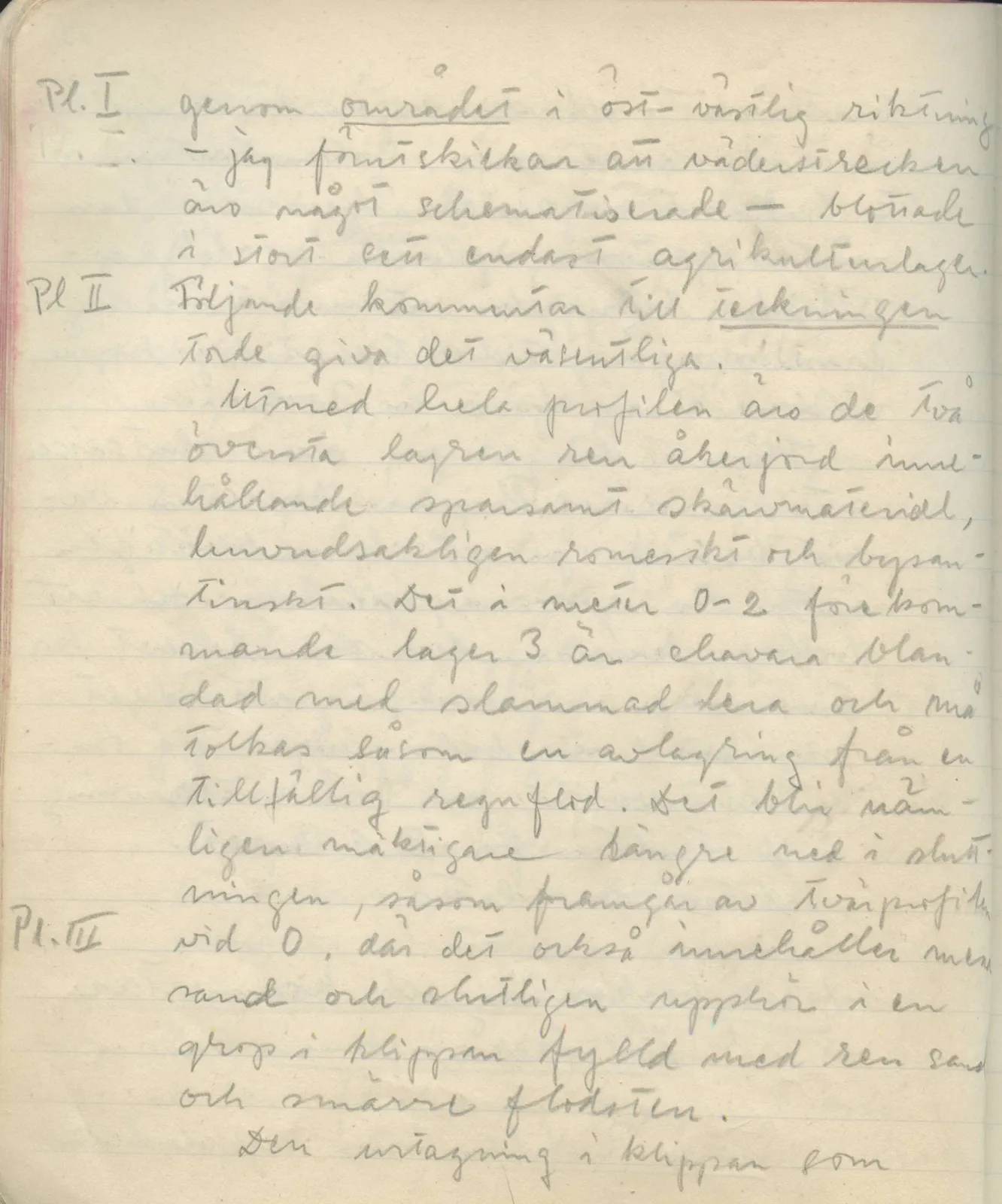
Pl. I… through the area in an east-west direction — I should say in advance that the compass directions are somewhat schematized — exposed essentially only agricultural layers.
Pl IIFollowing comment on the drawing should give the essentials.
Pl. IIIAlong the whole section the two upper layers are clean arable soil, containing sparse sherd material, mainly Roman and Byzantine. The layer 3 occurring at metres 0–2 is mixed with silted clay and may be interpreted as a deposit from a temporary rain flood. It becomes thicker further down in the slope, as is clear from the cross-section at 0, where it also contains more sand and finally ceases in a pit in the rock filled with clean sand and small river stones.
the recess cut into the rock which … continues
65 figures hard to readstruck struck outadded written in above” jug ditto, and what it repeatsword reading not certain