
Field photograph·Csn3112·1927–1931
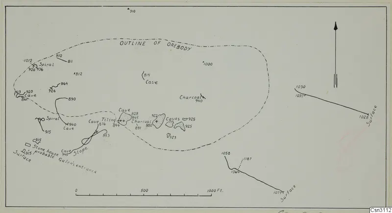
Plan of orebody with ancient underground workings, Skouriotissa
Description
Line drawing on a sheet showing a dash-dot outline of the orebody as a large irregular loop, with numbered survey points scattered across it. Inside and along its western and southern edges are marked caves, spiral symbols, charcoal areas and a sloping passage, with a small stone house and a note marking a probable entrance. Solid survey lines to the right and lower centre are labelled as surface, with a north arrow and a scale bar in feet.
English, translated from the original record
Plan of an orebody at Skouriotissa with ancient underground workings.
More from Skouriotissa
14 items in the archive
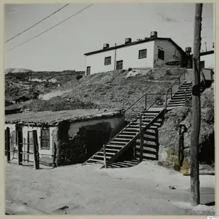 Csn3058Large dump of broken pottery outside ancient mine at Skouriotissa
 Csn3063Skouriotissa. View from Foukassa Hill
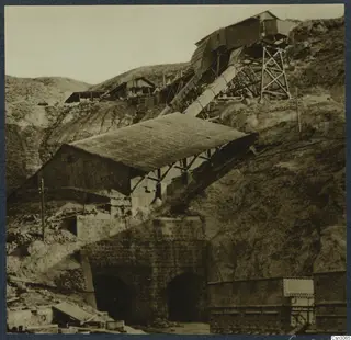 Csn3065The Skouriotissa copper mine
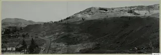 Csn3067Ancient slag heap on the slope of the Foukassa Hill, Skouriotissa
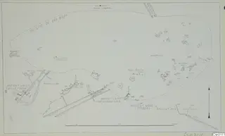 Csn3111Plan of orebody with ancient underground working and pottery dump, Skouriotissa
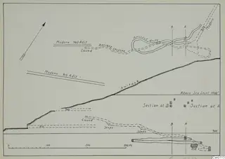 Csn3113Plan and section of ancient incline and drift, Skouriotissa
Photographs: Swedish Cyprus Expedition, Medelhavsmuseet, Stockholm (CC0)