
Field photograph·Csn3062·1927–1931
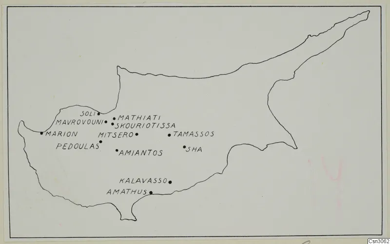
Map of Cyprus with mining centres indicated
Description
A black line drawing of the island of Cyprus on a pale sheet, with about a dozen black dots marking the mining centres. The dots cluster in the west and centre of the island, and Mavrovouni and Skouriotissa are named among them. Faint pink pencil marks appear at the lower right of the sheet.
English, translated from the original record
Map of Cyprus with mining centres indicated.