
Field photograph·Csn1909·1927–1931
Stone Age pottery
Description
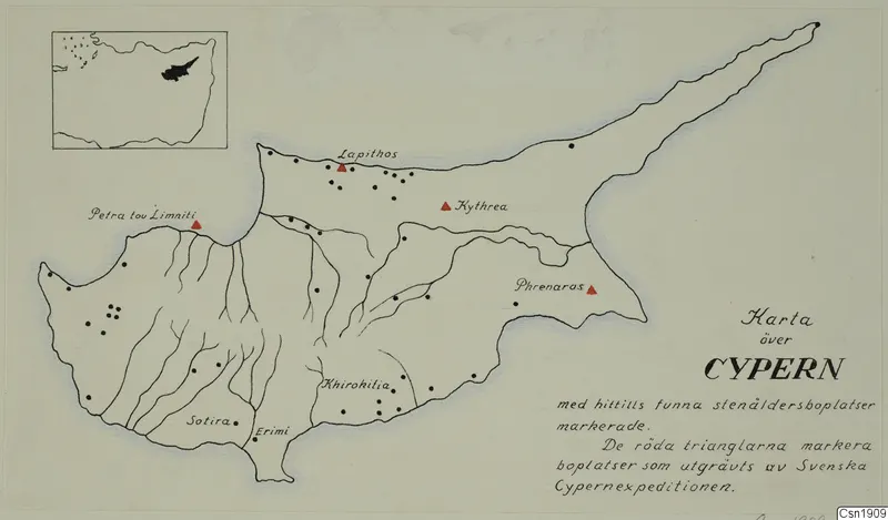
A hand-drawn map of the island of Cyprus in ink and pencil on pale paper, with river valleys drawn as branching lines. Many black dots mark scattered sites, and seven red triangles mark excavated sites. An inset map in the upper left shows the island in its wider coastline, and a block of hand-lettered text sits at the lower right.
English, translated from the Swedish record
Pottery, Stone Age.
Swedish, as on the record
Föremålsbild, fynd från Svenska cypernexpeditionen. Keramik, stenålder.