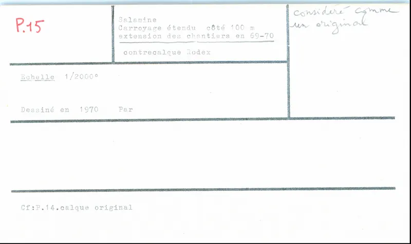
Extended grid plan of the Salamis excavation, 1970
Drawing: 1970. Mission archéologique française de Kition-Salamine (MOM, Lyon), Nakala, SAL_OBPL_141102_0015. "Extended grid plan of the Salamis excavation, 1970". CC BY 4.0. Resized.
Plan SAL_OBPL_141102_0015
English, translated from the French record
Plan or drawing SAL_OBPL_141102_0015, scale 1/2000, grid side 100 m, extended grid. Coverage: entire site area and extension of excavations 1969 and 1970. See also Plan_0014: original tracing paper. Date: 1970.
French, as on the record
côté 100m
Carroyage étendu
cf. Plan_0014 : calque original
Corrections and additions
Can you tell us more about this?
If you can identify, date or place this item, or know where else it is recorded, we would like to hear.