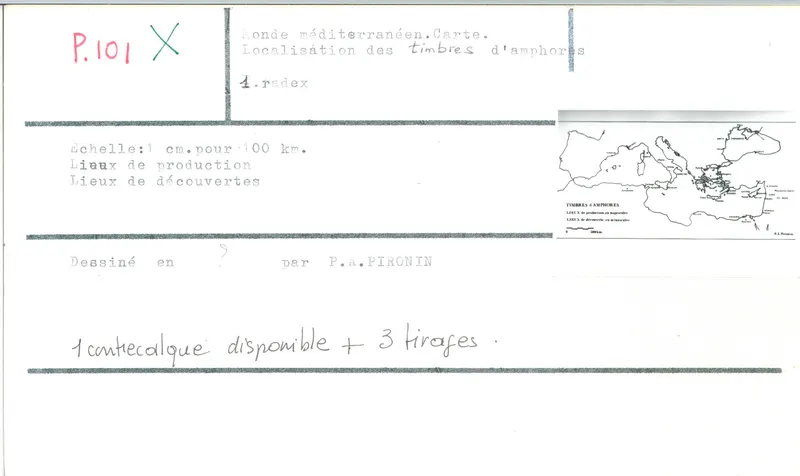
Map of Mediterranean amphora stamp find-spots and production sites
Drawing: P. A. Pironin. Mission archéologique française de Kition-Salamine (MOM, Lyon), Nakala, SAL_OBPL_141095_0101. "Map of Mediterranean amphora stamp find-spots and production sites". CC BY 4.0. Resized.
Plan SAL_OBPL_141095_0101
English, translated from the French record
Map of the Mediterranean world showing the locations of amphora stamps, their production sites and their places of discovery, drawn by P. A. Pironin at a scale of 1/10000000. Inventory SAL_OBPL_141095_0101.
French, as on the record
Carte du monde méditerranéen, localisation des timbres d'amphore, lieux de production et lieux de découvertes
Corrections and additions
Can you tell us more about this?
If you can identify, date or place this item, or know where else it is recorded, we would like to hear.