
Photograph·8_PV_275·1929
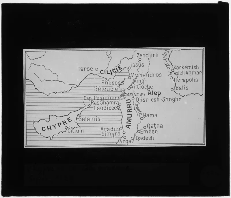
Map of Cyprus and the Syrian coast
English, translated from the French record
A glass negative, 10 cm × 8.5 cm, showing a map of Cyprus and the Syrian coast, made by Claude Schaeffer and dated 1929.
The Collège de France's catalogue entry (French)
Carte de Chypre et de la côte syrienne
Corrections and additions
Can you tell us more about this photograph?
Many of the people, places and objects in these photographs have never been identified.
We would like to hear about
- Who is in the photograph, or where it was taken
- When it was taken
- The object shown, and where it is now
- Another photograph of the same scene or object
Tell us if you would like to be thanked by name on the page.