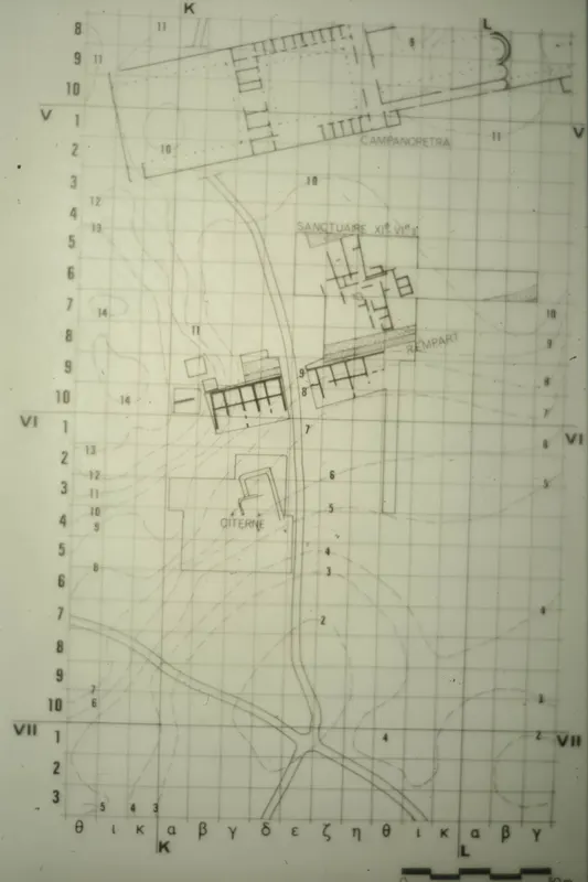
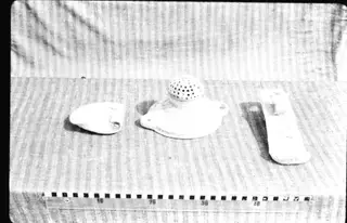
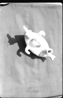
Plan of the Salamis site, Campanopetra area, Geometric sanctuary and rampart
Photograph: 1967. Mission archéologique française de Kition-Salamine (MOM, Lyon), Nakala, C_5832. "Plan of the Salamis site, Campanopetra area, Geometric sanctuary and rampart". CC BY 4.0. Resized.
Colour slide C_5832
English, translated from the French record
Colour slide C_5832 showing a plan of the Salamis site in the region of Campanopetra, with the Geometric sanctuary and the rampart. Coverage: Campanopetra; square K IV/ε10. Sector: Campanopetra. Date: 27 September 1967.
French, as on the record
Plan du site de salamine, région de la campanopétra et du sanctuaire géométrique et du rempart
Corrections and additions
Can you tell us more about this photograph?
Many of the people, places and objects in these photographs have never been identified.