Photograph: Mission archéologique française de Kition-Salamine (MOM, Lyon), Nakala, C_1254. "Venetian map of islands, colour slide". CC BY 4.0. Resized.
Colour slide C_1254
English, translated from the French record
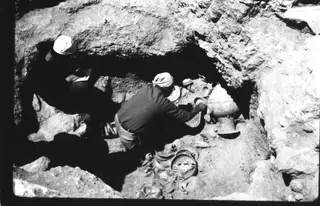
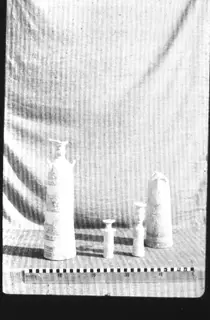
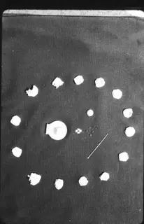
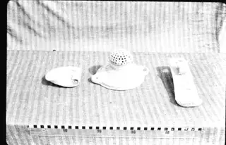
Colour slide C_1254, negative 143.0, showing a Venetian map (carte vénitienne) of islands (environ des îles). Approximate content: the French gives no further detail.
French, as on the record
Carte vénitienne (environ des îles)
negatif= 143.0
Corrections and additions
Can you tell us more about this photograph?
Many of the people, places and objects in these photographs have never been identified.