
Field photograph·C_1248·1964–1974
Plan of the harbour

Colour slide C_1248
English, translated from the French record
Colour slide, number C_1248; negative 00122_01. Plan of the port.
French, as on the record
Plan du port negatif= 00122_01
Corrections and additions
Can you tell us more about this photograph?
Many of the people, places and objects in these photographs have never been identified.
Missing from this record
- Not dated individually
We would like to hear about
- Who is in the photograph, or where it was taken
- When it was taken
- The object shown, and where it is now
- Another photograph of the same scene or object
Tell us if you would like to be thanked by name on the page.
More from Salamis
16,340 items in the archiveThe site →
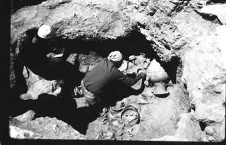
Photograph: Mission archéologique française de Kition-Salamine (MOM, Lyon), Nakala, 01513_01. "Excavation photograph". CC BY 4.0. Resized. 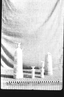
Photograph: Mission archéologique française de Kition-Salamine (MOM, Lyon), Nakala, 01513_02. "Excavation photograph". CC BY 4.0. Resized. 
Photograph: Mission archéologique française de Kition-Salamine (MOM, Lyon), Nakala, 01513_04. "Excavation photograph". CC BY 4.0. Resized. 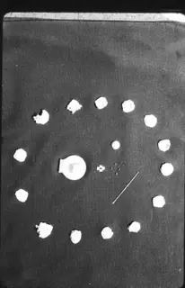
Photograph: Mission archéologique française de Kition-Salamine (MOM, Lyon), Nakala, 01513_06. "Excavation photograph". CC BY 4.0. Resized. 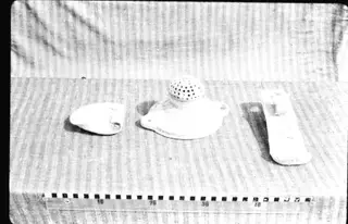
Photograph: Mission archéologique française de Kition-Salamine (MOM, Lyon), Nakala, 01531_01. "Excavation photograph". CC BY 4.0. Resized. 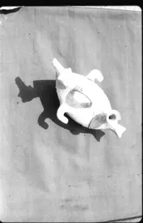
Photograph: Mission archéologique française de Kition-Salamine (MOM, Lyon), Nakala, 01533_01. "Excavation photograph". CC BY 4.0. Resized.