
Unnumbered pageScan 60 of 95
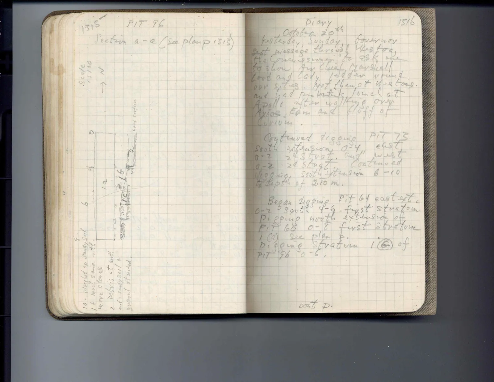
1315 PIT 96 Section a-a (see plan p. 1313)
Scale 1:100
N ↑
Drawing: section diagram showing layers 1a, 1b, 2, hard surface, with scale marks 0, 4, 6, 8
1a = ploughed up sandy soil 1b more same with more stones 2 Debris at south end = sandy soil + gravel at north
Right page
Diary 1316
October 20th Yesterday, Sunday, Governor sent message through Weston, the Commissioner to ask me to show Air Chief Marshall Lord and Lady Tedder round our sites. Met them at Westons and had picnic lunch at Apollo after walking over Ayios Erm and bluff of Curium.
Continued digging PIT 73 south extension 0-4, east 0-2 2d strat. and west 0-2 2d strat. Continued digging south extension 6-10 to depth of 2.10 m.
Began digging Pit 64 east ext. 0-2 South 4-6 first stratum Digging north extension of PIT 60 0-8 first stratum 1(a) see plan p. Digging stratum 1(b) of PIT 96 0-6.
cont p.
65 figures hard to readstruck struck outadded written in above” jug ditto, and what it repeatsword reading not certain