
Unnumbered pageScan 59 of 95
1313
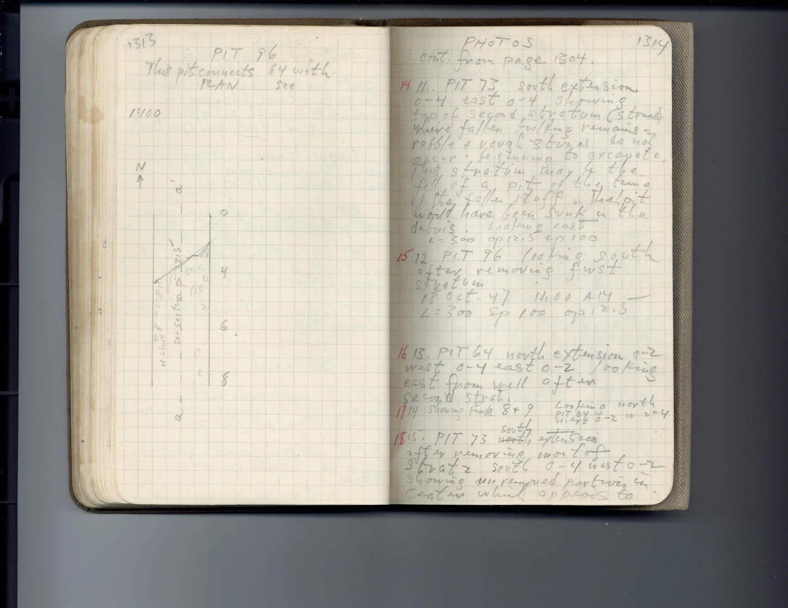
PIT 96 This pit connects 64 with PLAN see
1:100
N ↑
Drawing: plan with labeled axis a-a', measurements, stones, and notes; labels: a', 0, 4, 6, 8, a, b, c, d, e, f, see section p 1315, see section p 1315, 0, 0, 0, 0, 0
Right page
PHOTOS cont. from page 1304.
1314
14 11. PIT 73 south extension 0-4 east 0-4 showing top of second stratum (stones) where fallen building remains - robble & rough stones do not occur, beginning to excavate this stratum may be the fill of a pit of the time of the fallen stuff. The pit would have been sunk in the debris. Looking east L = 300 op 12.5 sp 100
15 12 PIT 96 looking south after removing first stratum 18 Oct. 47 11:00 AM L = 300 sp 100 op 12.5
16 13. PIT 64 north extension 0-2 west 0-4 east 0-2 looking east from well after second strat.
17 14 showing finds 8 & 9 Looking north PIT 64 N. ext 0-2 w 2-4
18 15. PIT 73 north south extension after removing most of strat 2 south 0-4 west 0-2 showing unremoved portion in center which appears to
65 figures hard to readstruck struck outadded written in above” jug ditto, and what it repeatsword reading not certain