
Unnumbered pageScan 71 of 83
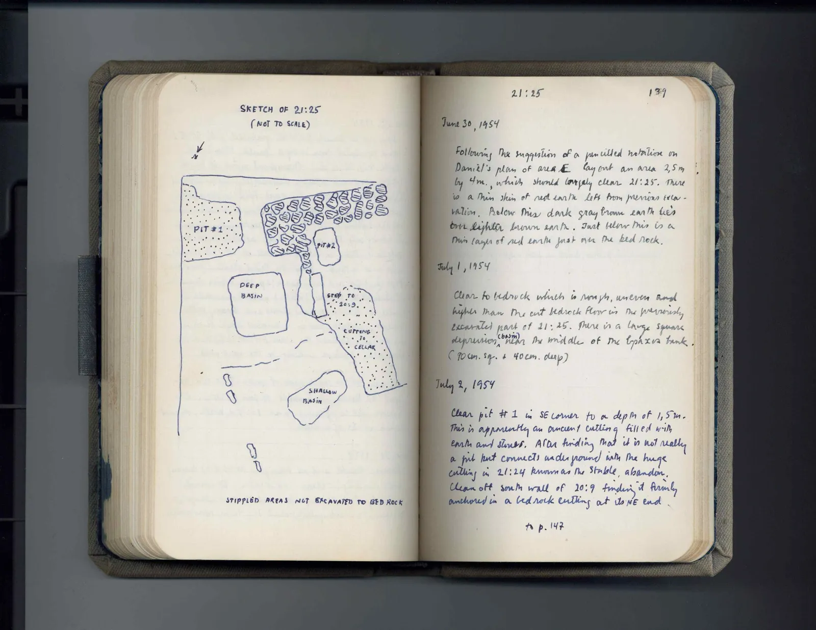
SKETCH OF 21:25 (NOT TO SCALE)
Drawing: plan of area 21:25; labels: N [arrow pointing down and left], PIT # 1, PIT # 2, DEEP BASIN, STEP TO 20:9, CUTTING TO CELLAR, SHALLOW BASIN
STIPPLED AREAS NOT EXCAVATED TO BED ROCK
Right page
| 21:25 | 139 |
June 30, 1954
Following the suggestion of a pencilled notation on Daniel's plan of area E lay out an area 2,5m by 4m., which should largely clear 21:25. There is a thin skin of red earth left from previous excavation. Below this dark gray brown earth lies over lighter brown earth. Just below this is a thin layer of red earth just over the bed rock.
July 1, 1954
Clear to bedrock which is rough, uneven and higher than the cut bedrock floor in the previously excavated part of 21:25. There is a large square depression, (basin) near the middle of the bpaxus bank. (90 cm. sq. & 40 cm. deep)
July 2, 1954
Clear pit # 1 in SE corner to a depth of 1,5 m. This is apparently an ancient cutting filled with earth and stones. After finding that it is not really a pit but connects underground with the huge cutting in 21:24 known as the stable, abandon. Clean off south wall of 20:9 finding it firmly anchored in a bedrock cutting at its NE end.
to p. 147
65 figures hard to readstruck struck outadded written in above” jug ditto, and what it repeatsword reading not certain