
Page 25Scan 9 of 90
24
d 0.315 e 0.330
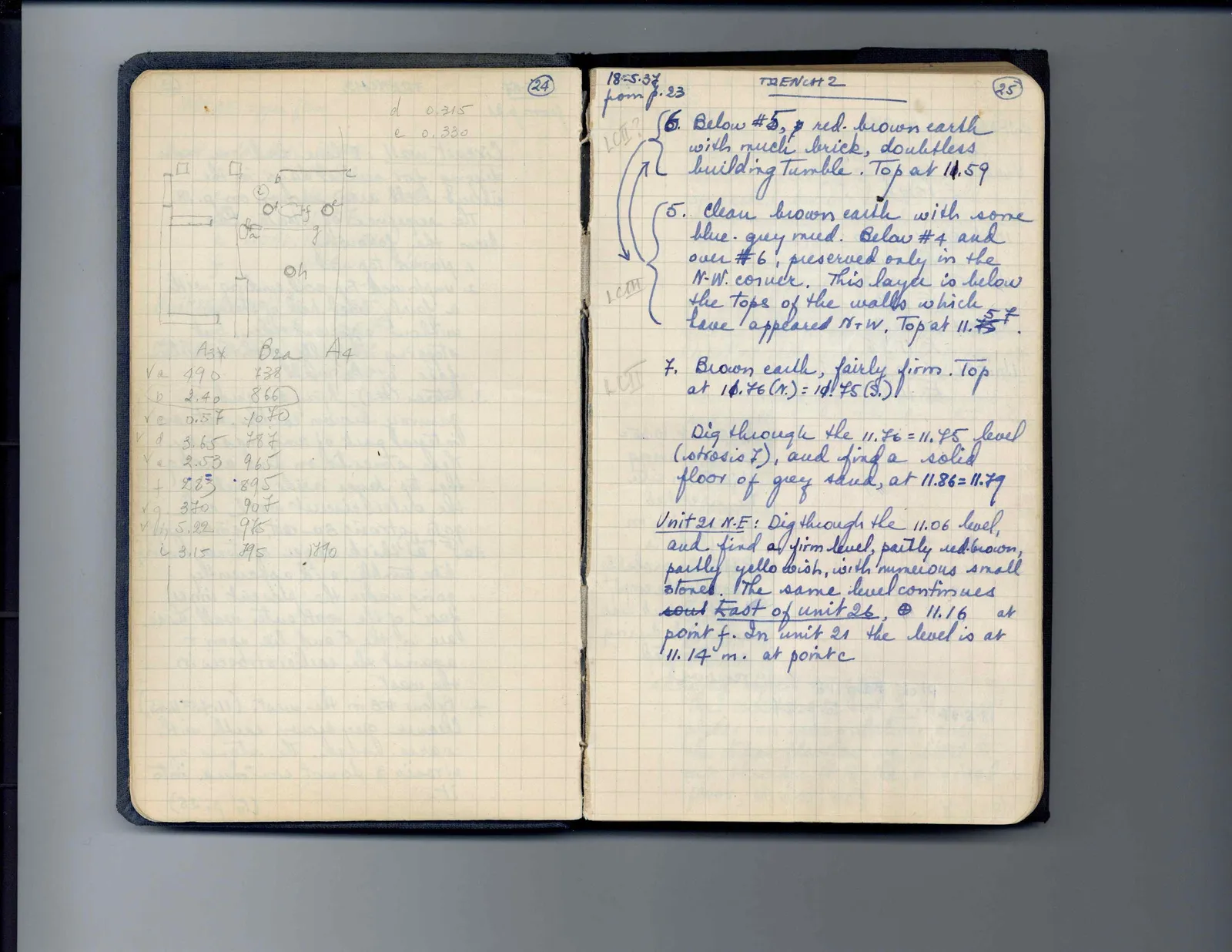
Drawing: plan with labeled points b, c, d, e, f, g, h
| A3* | B2a | A4 |
| [checkmark] a 490 | 738 | |
| b 2.40 | 866 | |
| [checkmark] c 0.57 | 1070 | |
| [checkmark] d 3.65 | 787 | |
| [checkmark] e 2.53 | 965 | |
| f 283 | 895 | |
| [checkmark] g 370 | 907 | |
| [checkmark] h 5.22 | 975 | |
| i 3.15 | 795 | 1790 |
Right page
18-5.37 from p. 23 TRENCH 2
Margin left: LOT?
Large bracket enclosing items 6 and 5, with arrows indicating they should be swapped in order
6. Below #5, a red-brown earth with much brick, doubtless building tumble. Top at 11.59
5. Clean brown earth with some blue-grey mud. Below #4 and over #6, preserved only in the N-W. corner. This layer is below the tops of the walls which have appeared N-W. Top at 11.7557.
Margin left: LOT 11
Margin left: LOT
7. Brown earth, fairly firm. Top at 11.76 (N.) = 11.7545 (S.)
Dig through the 11.76 = 11.75 level (strosis 7), and find a solid floor of grey sand, at 11.86 = 11.79
Unit 21 N-E: Dig through the 11.06 level, and find a firm level, partly red-brown, partly yellowish, with numerous small stones. The same level continues sout East of unit 26, [circled plus symbol] 11.16 at point f. In unit 21 the level is at 11.14 m. at point c
65 figures hard to readstruck struck outadded written in above” jug ditto, and what it repeatsword reading not certain