
Unnumbered pageScan 4 of 90
14
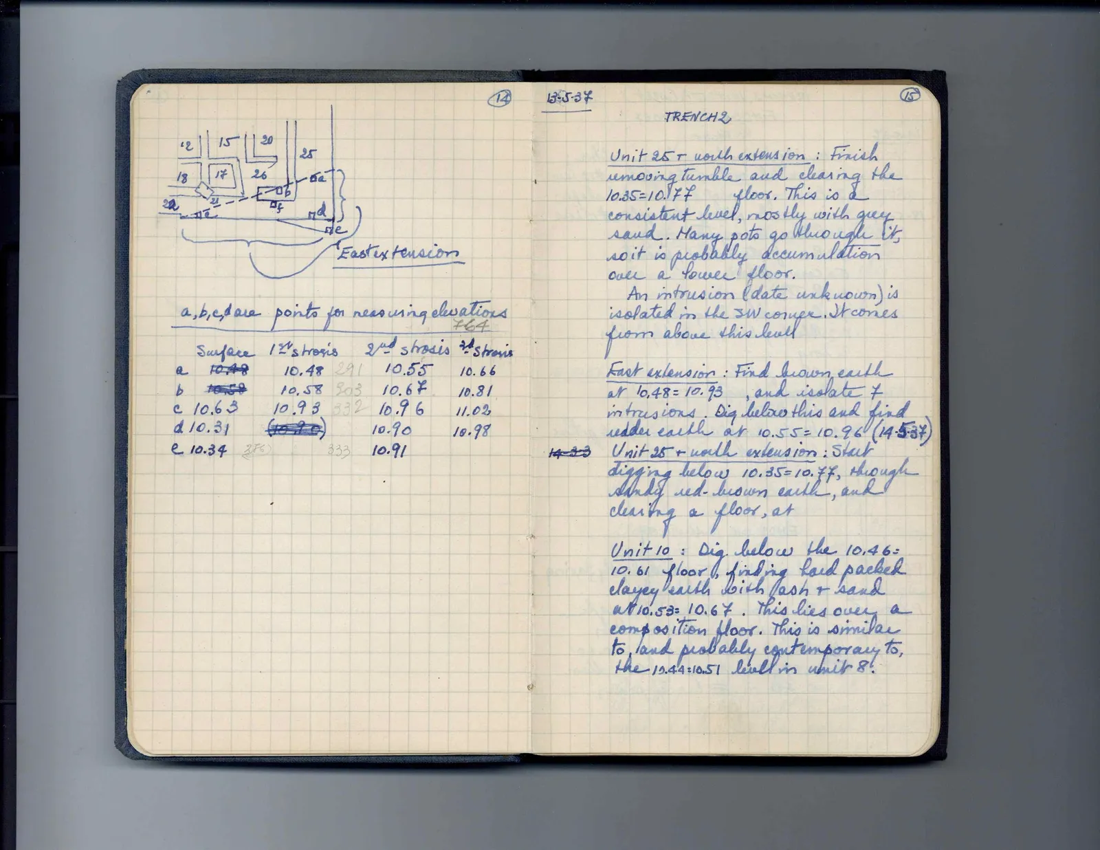
Drawing: layout of units 12, 15, 17, 18, 20, 21, 22, 25, 26, points a-f, and East extension; labels: 12, 15, 18, 17, 20, 26, 25, 22, 21, c, a, f, b, d, e, East extension
a, b, c, d are points for measuring elevations
| Surface | 1st strosis | 2nd strosis | [pencil: 764] | 3d Strosis | |||
| a | 10.48 | [pencil: 291] | 10.55 | 10.66 | |||
| b | 10.58 | [pencil: 303] | 10.67 | 10.81 | |||
| c | 10.63 | 10.93 | [pencil: 332] | 10.96 | 11.02 | ||
| d | 10.31 | ( | 10.90 | 10.98 | |||
| e | 10.34 | [pencil: 286] | [pencil: 333] | 10.91 |
Right page
13.5.37
15
TRENCH 2
Unit 25 + north extension: Finish removing tumble and clearing the 10.35=10.77 floor. This is a consistent level, mostly with grey sand. Many pots go through it, so it is probably accumulation over a lower floor. An intrusion (date unknown) is isolated in the SW corner. It comes from above this level.
East extension: Find brown earth at 10.48= 10.93, and isolate 7 intrusions. Dig below this and find redder earth at 10.55= 10.96 (14.5.37)
14.5.37 Unit 25 + north extension: Start digging below 10.35= 10.77, through sandy red-brown earth, and clearing a floor, at
Unit 10: Dig below the 10.46= 10.61 floor, finding hard packed clayey earth with ash + sand at 10.53= 10.67. This lies over a composition floor. This is similar to, and probably contemporary to, the 10.44=10.51 level in unit 8.
65 figures hard to readstruck struck outadded written in above” jug ditto, and what it repeatsword reading not certain