
Page 104Scan 6 of 40
1-3-37; cont'd._ TRENCH LOT N^o 1 from p. 102
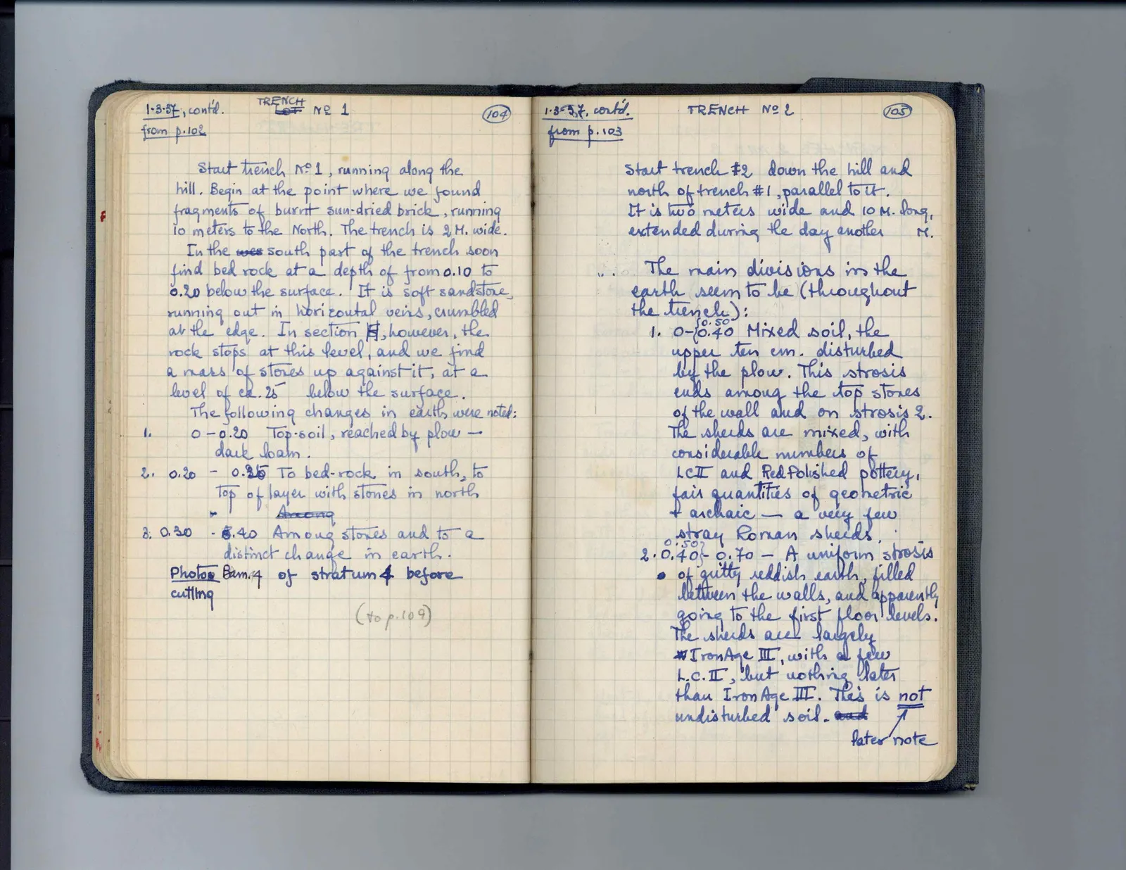
Start trench N^o 1, running along the hill. Begin at the point where we found fragments of burnt sun-dried brick, running 10 meters to the North. The trench is 2 M. wide. In the wes south part of the trench soon find bed rock at a depth of from 0.10 to 0.20 below the surface. It is soft sandstone, running out in horizontal veins, crumbled at the edge. In section H, however, the rock stops at this level, and we find a mass of stones up against it, at a level of ca. .25 below the surface. The following changes in earth were noted: 1. 0 - 0.20 Top-soil, reached by plow - dark loam. 2. 0.20 - 0.25 To bed-rock in south, to top of layer with stones in north Among 3. 0.30 - 0.40 Among stones and to a distinct change in earth. Photo: Bam. 7 of stratum 4 before cutting (to p. 109)
Right page
1-3-37cont'd._ TRENCH N^o 2 from p. 103
Start trench #2 down the hill and north of trench #1, parallel to it. It is two meters wide and 10 M. long, extended during the day another M.
The main divisions in the earth seem to be (throughout the trench): 1. 0 - { 0.50 0.40 Mixed soil, the upper ten cm. disturbed by the plow. This strosis ends among the top stones of the wall and on strosis 2. The sherds are mixed, with considerable numbers of LC II and Red Polished pottery, fair quantities of geometric & archaic - a very few stray Roman sherds. 2. 0.50 0.40 } - 0.70 - A uniform strosis of gritty reddish earth, filled between the walls, and apparently going to the first floor levels. The sherds are largely Iron Age III, with a few L.C. II, but nothing later than Iron Age III. This is not undisturbed soil. and ^ later note
65 figures hard to readstruck struck outadded written in above” jug ditto, and what it repeatsword reading not certain