
Page 114Scan 11 of 40
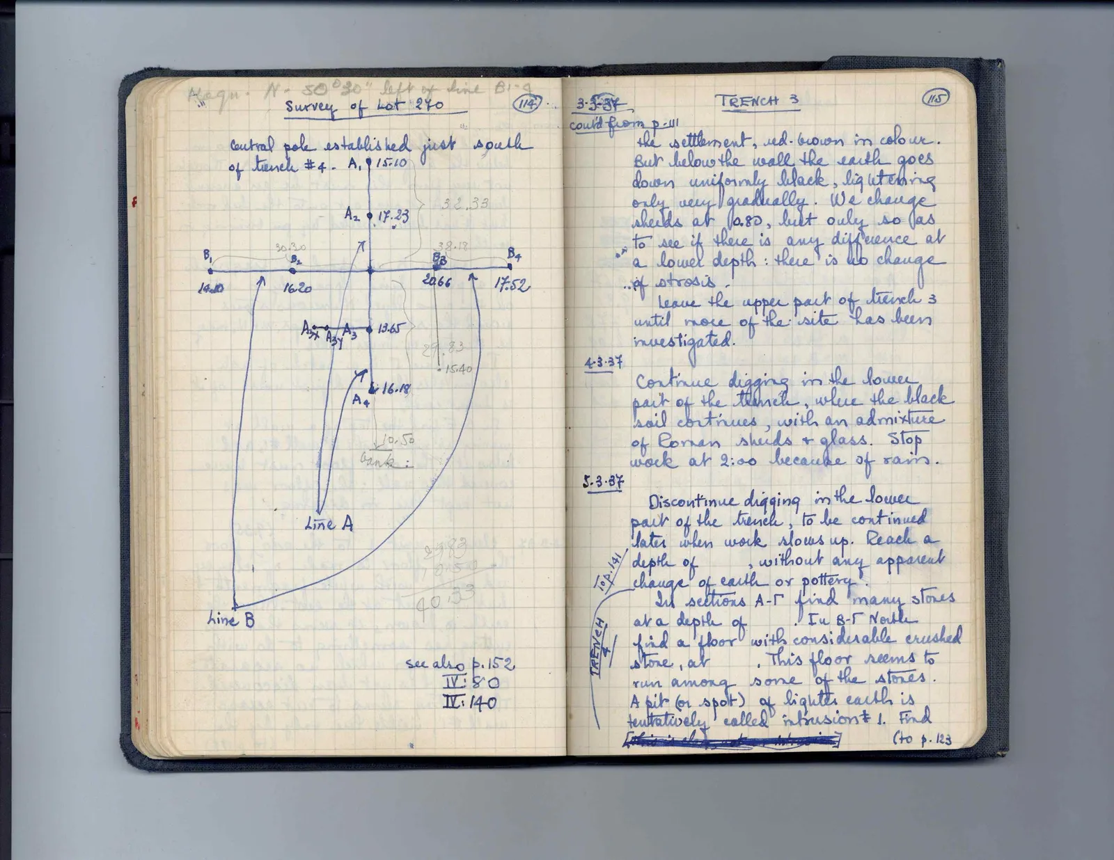
Magn. N. 50°30" left of line B1-4 Survey of Lot 240
Central pole established just south of trench #4.
Drawing: intersecting survey lines A and B with marked points and curved lines connecting to labels
A1 15.10 A2 17.23 32.33 30.30 38.18 B1 14.10 B2 16.20 B3 20.66 B4 17.52 A3x A3y A3 13.65 29.83 15.40 A4 16.18 10.50 bank: Line A Line B]
2983 10.50 40.33
see also p. 152, IV: 80 IV: 140
Right page
3-3-37TRENCH 3 cont'd from p. 111 the settlement, red-brown in colour. But below the wall the earth goes down uniformly black, lightening only very gradually. We change sherds at 0.80, but only so as to see if there is any difference at a lower depth: there is no change of strosis. Leave the upper part of trench 3 until more of the site has been investigated.
4.3.37 Continue digging in the lower part of the trench, where the black soil continues, with an admixture of Roman sherds + glass. Stop work at 2:00 because of rain.
To p. 141TRENCH 45.3.37 Discontinue digging in the lower part of the trench, to be continued later when work slows up. Reach a depth of , without any apparent change of earth or pottery. In sections A-Γ find many stones at a depth of . In B-Γ North find a floor with considerable crushed stone, at . This floor seems to run among some of the stones. A pit (or spot) of lighter earth is tentatively called intrusion #1. Find [this is [illegible] intrusion] (to p. 123
65 figures hard to readstruck struck outadded written in above” jug ditto, and what it repeatsword reading not certain