
Unnumbered pageScan 19 of 40
Episkopi, Limassol, Cyprus
December 17, 1941Dear Pete,
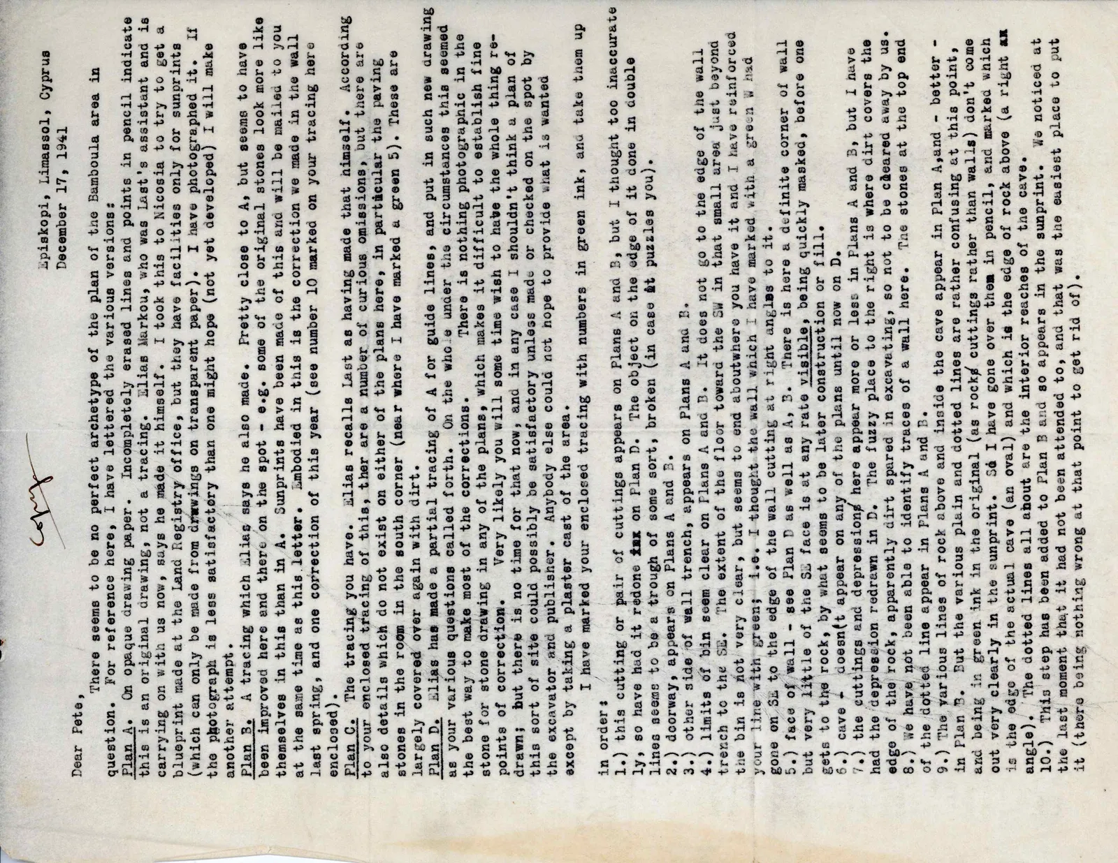
There seems to be no perfect archetype of the plan of the Bamboula area in question. For reference here, I have lettered the various versions: Plan A. On opaque drawing paper. Incompletely erased lines and points in pencil indicate this is an original drawing, not a tracing. Elias Markou, who was Last's assistant and is carrying on with us now, says he made it himself. I took this to Nicosia to try to get a blueprint made at the Land Registry office, but they have facilities only for sunprints (which can only be made from drawings on transparent paper). I have photographed it. If the photograph is less satisfactory than one might hope (not yet developed) I will make another attempt. Plan B. A tracing which Elias says he also made. Pretty close to A, but seems to have been improved here and there on the spot - e.g. some of the original stones look more like themselves in this than in A. Sunprints have been made of this and will be mailed to you at the same time as this letter. Embodied in this is the correction we made in the wall in the room in the south corner (near where I have marked a green 5). These are last spring, and one correction of this year (see number 10 marked on your tracing here enclosed). Plan C. The tracing you have. Elias recalls Last as having made that himself. According to your enclosed tracing of this, there are a number of curious omissions, but there are also details which do not exist on either of the plans here, in particular the paving stones in the room in the south corner (near where I have marked a green 5). These are largely covered over again with dirt. Plan D. Elias has made a partial tracing of A for guide lines, and put in such new drawing as your various questions called forth. On the whole under the circumstances this seemed the best way to make most of the corrections. There is nothing photographic in the plans, which makes it difficult to establish fine points of correction. Very likely you will some time wish to have the whole thing redrawn; but there is no time for that now, and in any case I shouldn't think a plan of this sort of site could possibly be satisfactory unless made or checked on the spot by the excavator and publisher. Anybody else could not hope to provide what is wanted except by taking a plaster cast of the area. I have marked your enclosed tracing with numbers in green ink, and take them up in order: 1.) this cutting or pair of cuttings appears on Plans A and B, but I thought too inaccurately so have had it redone in on Plan D. The object on the edge of it cone in double lines seems to be a trough of some sort, broken (in case it puzzles you). 2.) doorway, appears on Plans A and B. 3.) other side of wall trench, appears on Plans A and B. 4.) limits of bin seem clear on Plans A and B. It does not go to the edge of the wall trench to the SE. The extent of the floor toward the SW in that small area just beyond but seems to end aboutwhere you have it and I have reinforced the bin is not very clear, but seems to end aboutwhere you have it and I have reinforced the bin with green; i.e. I thought the wall which I have marked with a green W had your line with green; i.e. I thought the wall cutting at right angles to it. 5.) face of wall - see Plan D as well as A, B. There is here a definite corner of wall gone on SE to the edge of the wall cutting at right angles to it. 6.) cave - doesn't appear on any of the plans until now on D. 7.) the cuttings and depressions here appear more or less in Plans A and B, but I have but very little of the SE face is at any rate visible, being quickly masked, before one gets to the rock, by what seems to be later construction or fill. 8.) we have not been able to identify traces of a wall here. The stones at the top end of the dotted line appear in Plans A and B. 9.) The various lines of rock above and inside the cave appear in Plan A,and - better - in Plan B. But the various plain and dotted lines are rather confusing at this point, and being in green ink in the original (as rock/cuttings rather than walls) don't come out very clearly in the sunprint. So I have gone over them in pencil, and marked which is the edge of the actual cave (an oval) and which is the edge of rock above (a right angle). The dotted lines all about are the interior reaches of the cave. 10.) This step has been added to Plan B and so appears in the sunprint. We noticed at the last moment that it had not been attended to, and that was the easiest place to put it (there being nothing wrong at that point to get rid of).
65 figures hard to readstruck struck outadded written in above” jug ditto, and what it repeatsword reading not certain