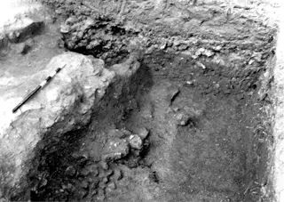
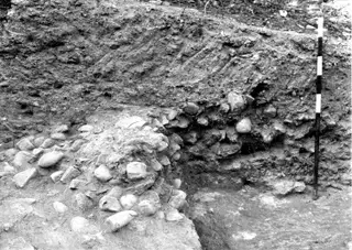
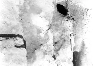
Photograph: Jean-François Salles, 1990. Mission archéologique française de Kition-Salamine (MOM, Lyon), Nakala, KEF_POS_132584_0127_0001a. "Ramp 491 seen from the north, 1990". CC BY 4.0. Resized.
Photograph
English, translated from the French record
Black-and-white field photograph, 24x36, negative number KEF_POS_132584_0127_0001a, of ramp 491 seen from the north in 1990, at Kition-Bamboula-Port. On the left, pillar 708 is surrounded by slabs marking the level of the State II pavement; the west slab lies at a higher altitude than the east slab.
French, as on the record
La rampe 491 depuis le nord, en 1990. À g., le pilier 708 cerné des dalles marquant le niveau du trottoir de l’état II : la dalle ouest est située à une altitude plus élevée que la dalle est. ; - S
Corrections and additions
Can you tell us more about this photograph?
Many of the people, places and objects in these photographs have never been identified.

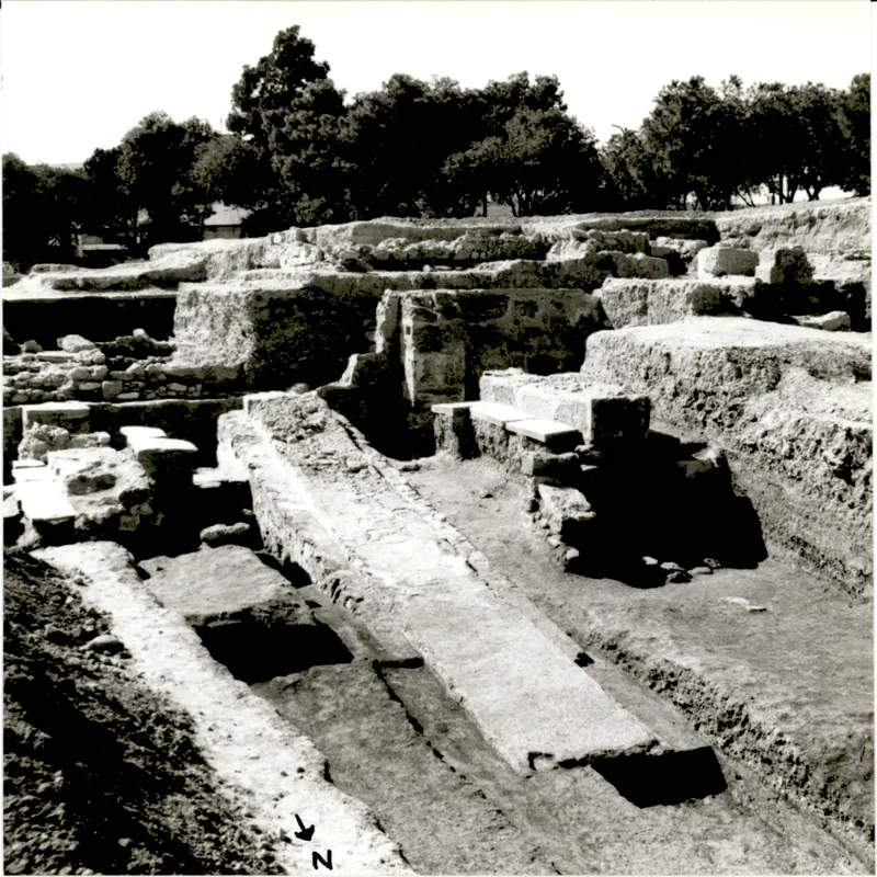
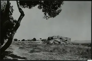 C01711Kition, Bamboula from the south
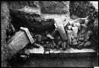 C01719Kition cult room, statues in situ
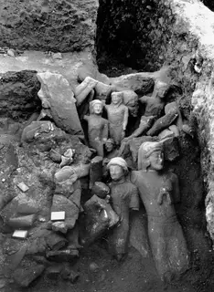 C01728Cult room, large deposit at Kition, detail with larger sculptures