
Unnumbered pageScan 15 of 18
8
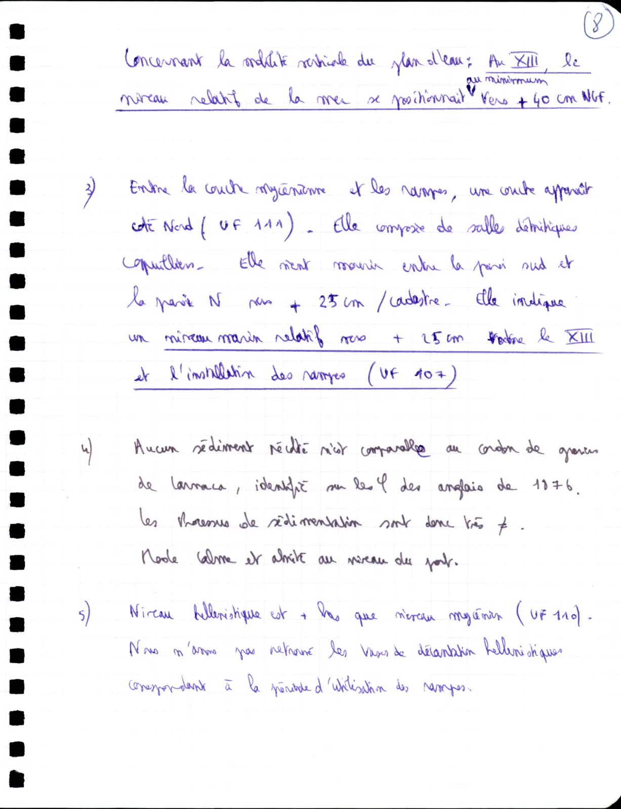
Concerning the vertical mobility of the water level: In XIII, the relative sea level was positioned at minimum towards + 40 cm NGF.
3)Between the Mycenaean layer and the ramps, a layer appears north side ( UF 111 ) - It is composed of detrital sands shelly. It dies out between the south wall and the N wall towards + 25 cm / cadastre. It indicates a relative marine level towards + 25 cm between the XIII and the installation of the ramps ( UF 107 )
4)No sediment collected is comparable to the gravel ridge of Larnaca, identified on the φ of the English of 1876. The sedimentation processes are therefore very ≠ . Calm and sheltered mode at the level of the harbour.
5)Hellenistic level is + lower than Mycenaean level ( UF 110 ). We have not found the Hellenistic settling vessels corresponding to the period of use of the ramps.
65 figures hard to readstruck struck outadded written in above” jug ditto, and what it repeatsword reading not certain