
Page 28Scan 53 of 130
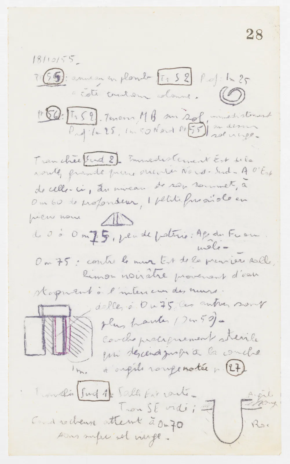
18/10/55 Pt 55: lead ring Tr S 2 depth: 1 m 25 beside column drum. (drawing)
Pt 56: Tr S 2. M.B. sherd on floor, immediately depth 1 m 25, 1 m 50 North of Pt 55 | above virgin soil -
Trench Sud 2 - Immediately East of the road, large stone oriented North - South - To the East of it, at the level of its top, at 0 m 60 depth, 1 small spindle whorl in black stone (drawing) from 0 to 0 m 75, little pottery: Iron Age or mixed - 0 m 75: against the East wall of the first room, blackish silt resulting from water stagnant inside the walls.
Drawing: plan of rectangular slabs and hatched areas, with purple outline on one element; labels: 1 m.] slab at 0 m 75; the others are
higher (0 m 50) - Layer practically sterile which descends down to the layer of red clay noted p. 27
Trench Sud 1: Room East of road - SE hole emptied; (drawing) rocky base reached at 0 m 70 below surface virgin soil -
65 figures hard to readstruck struck outadded written in above” jug ditto, and what it repeatsword reading not certain