
Page 1Scan 1 of 130
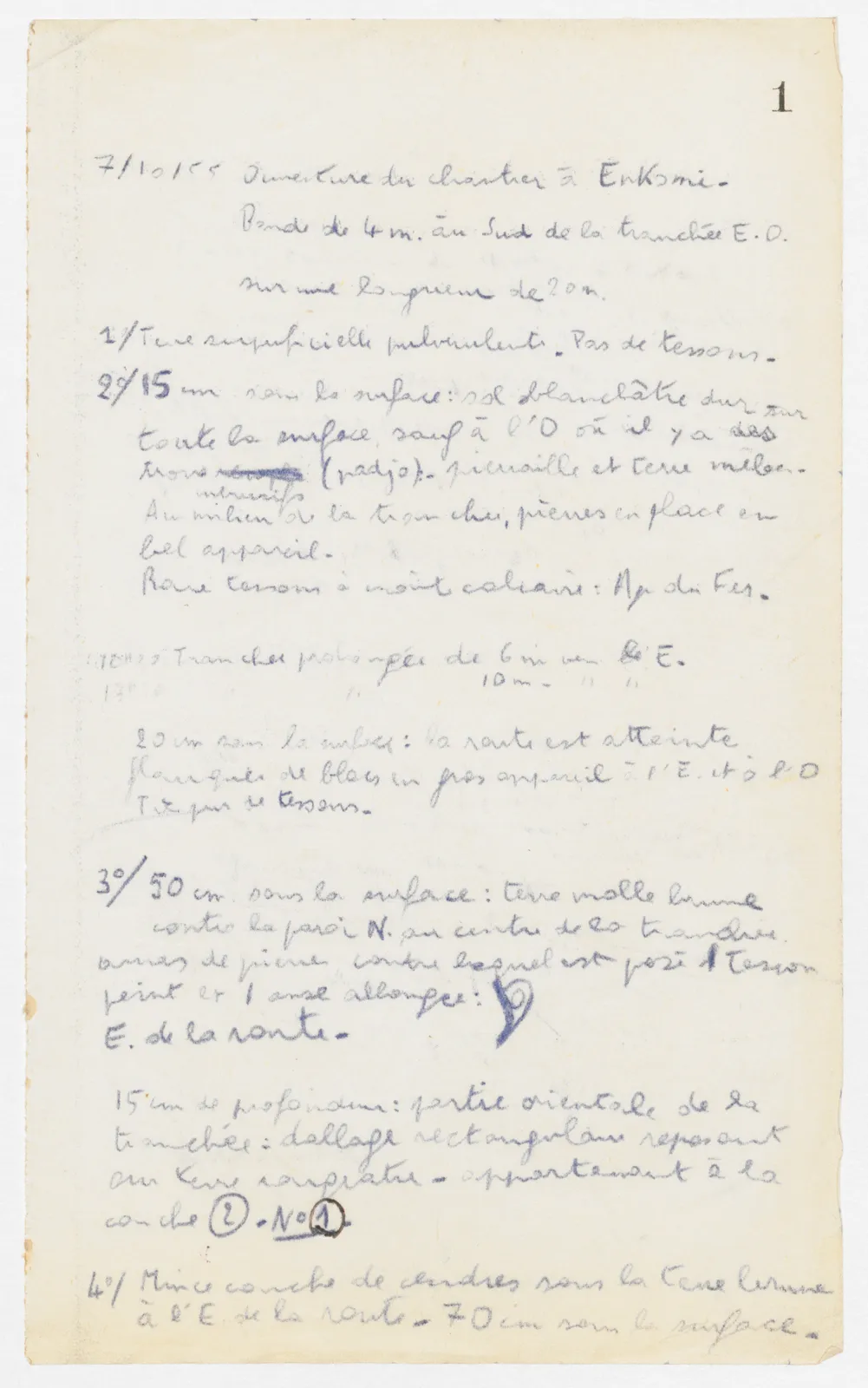
7/10/55Opening of the area at Enkomi. Strip of 4 m. south of trench E. W. over a length of 20 m.
1/ Powdery surface earth. No sherds. 2nd/ 15 cm below the surface: hard whitish floor over the whole surface, except at the W. where there are holes [illegible] (nadja) - rubble and earth mixed. At the same level middle of the trench, stones in place in fine masonry. Rare sherds with crust limestone: Iron Age.
10 H 25 Trench extended 6 m towards the E. 12 H " " 10 m. " "
20 cm below the surface: the road is reached flanked by blocks of large masonry at the E. and at the W. Very few sherds.
3rd/ 50 cm below the surface: soft brown earth against the N. wall at the centre of the trench. heap of stones against which is placed 1 sherd painted and 1 elongated handle: (drawing) E. of the road.
15 cm depth: eastern part of the trench: rectangular paving resting on reddish earth - belonging to the layer 2. No.^ 1
4th/ Thin layer of ash below the brown earth E. of the road - 70 cm below the surface.
65 figures hard to readstruck struck outadded written in above” jug ditto, and what it repeatsword reading not certain