
Unnumbered pageScan 8 of 39
1413
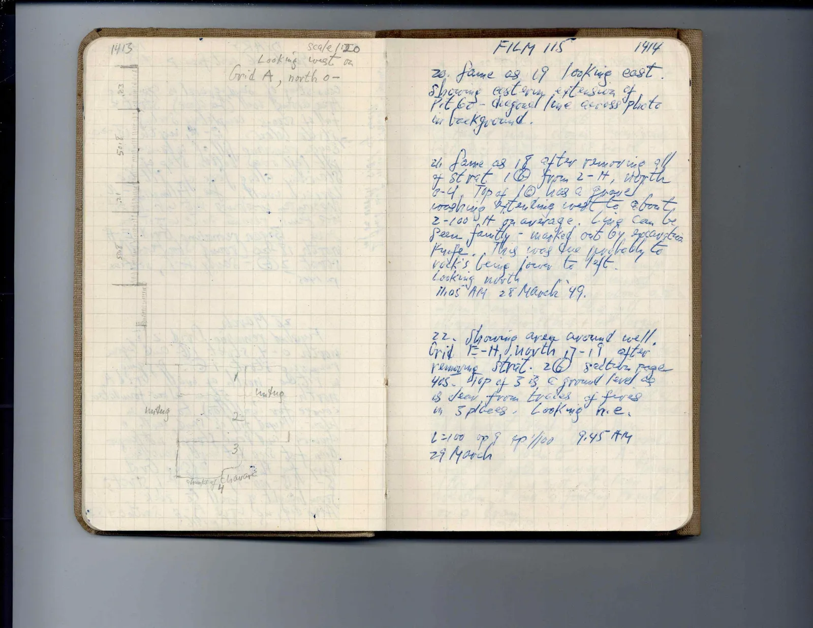
scale 1:20 Looking west on Grid A, north 0-
Drawing: stratigraphic cross section with labels:
.23 50.8 .21 50.5 undug 1 undug 2 3 chunki of chavara 4]
Right page
FILM 115
1414
20. Same as 19 looking east. showing eastern extension of pit 60 - diagonal line across photo in background.
21 Same as 18 after removing all of strat 16 from 2-H, north 0-4. Top of 10 has a gravel washing extending west to about 2-100 W on average. Line can be seen faintly - marked out by excavation knife. This was due probably to rock's being lower to left. Looking north 11:05 AM 28 March '49.
22. Showing area around well. Grid E-H, north 17-19 after removing strat. 26 section page 405. Top of 3 is a ground level as is seen from traces of fires in 3 places. Looking n.e.
L=100 op 9 sp 1/100 9.45 AM
29 March
65 figures hard to readstruck struck outadded written in above” jug ditto, and what it repeatsword reading not certain