
Unnumbered pageScan 5 of 39
15.
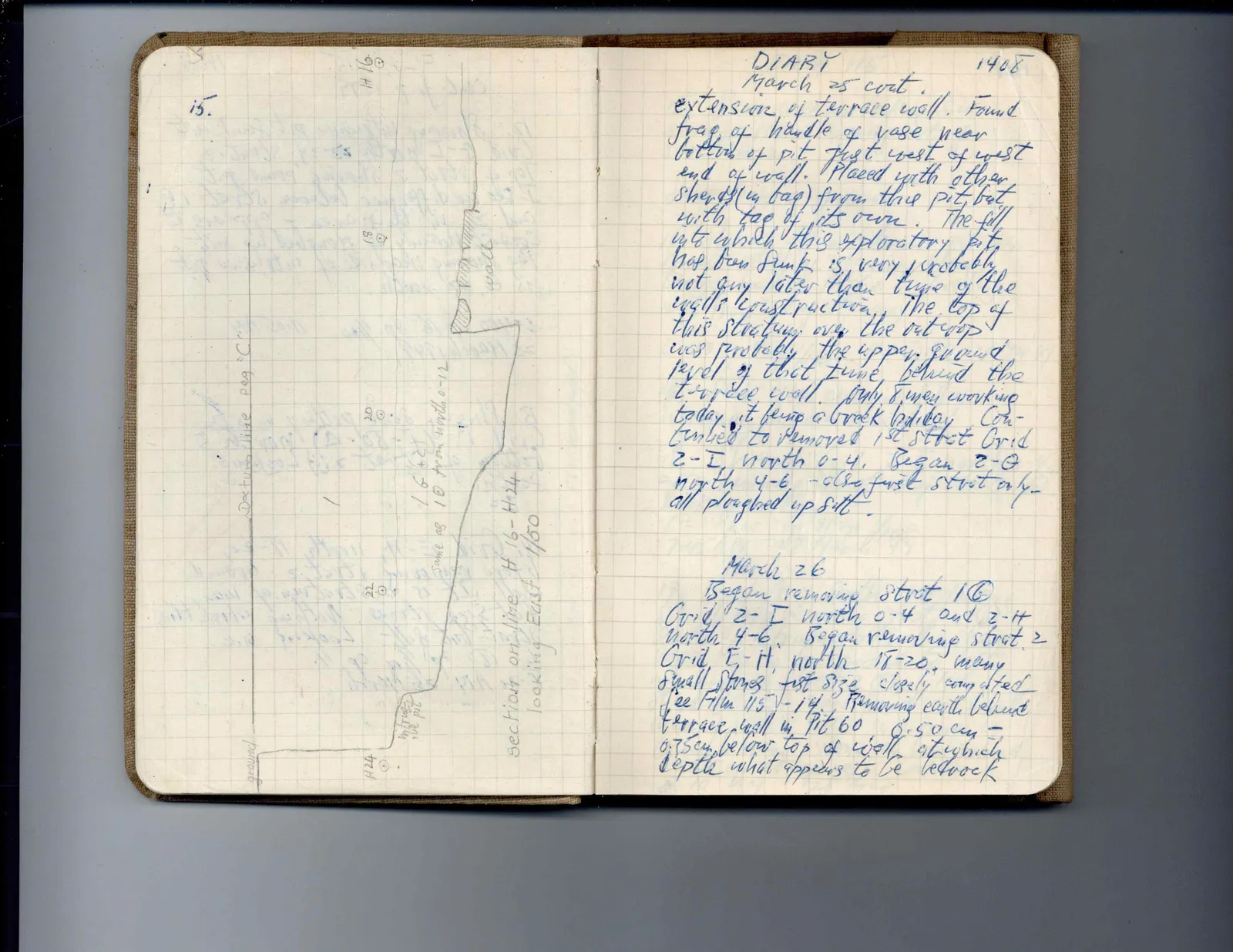
Drawing: section drawing of wall, slope and ground levels, labeled:
Datum line peg "C" ground H 16 H 18 H 20 H 22 H 24 wall 16 + 2 Same as 10 from north 0-12 in front of wall pit Section on line H 16 - H 24 looking East 150/]
Right page
DIARY March 25 cont. extension of terrace wall. Found frag. of handle of vase near bottom of pit just west of west end of wall. Placed with other sherds (in bag) from this pit, but with tag of its own. The fill into which this exploratory pit has been sunk is, very probably, not any later than time of the wall's construction. The top of this stratum over the outcrop was probably the upper ground level of that time behind the terrace wall. Only 8 men working today, it being a Greek holiday. Continued to removed 1st strat Grid 2-I north 0-4. Began 2-G north 4-6, also first strat only - all ploughed up silt.
March 26 Began removing strat 1C Grid 2-I north 0-4 and 2-H north 4-6. Began removing strat 2 Grid E-H north 18-20, many small stones fist size closely compacted See Film 115-1-14. Removing earth behind terrace wall in Pit 60 0.50 cm - 0.75 cm, below top of wall at which depth what appears to be bedrock
1408
65 figures hard to readstruck struck outadded written in above” jug ditto, and what it repeatsword reading not certain