
Unnumbered pageScan 87 of 95
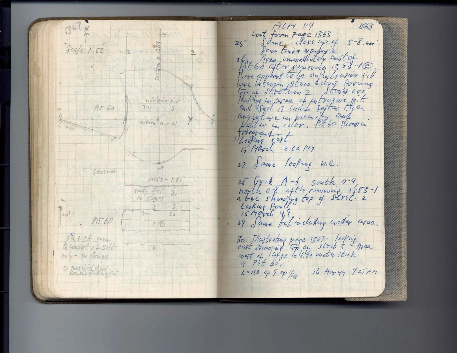
1367 N ↑ Scale 1:50 2 2
Drawing: plan of pit and intrusive pit; labels: Section p 1369, PIT 60, intrusive pit, 3a, 3, a, a wall, section a-a', a'
SECTION
Drawing: section diagram; labels: a wall, PIT 60, p 1353-1©, sandy soil, no stones, 2, 3, 3a, 3a, 3b, 6
3a + 3b seem to consist of silt only - no change. 3a one ribbed sherd - Roman or Hellenistic
Right page
FILM 114 1368 cont. from page 1363
25. Same - close up of 5-8. nor same time & exposure
26. Area immediately east of Pit 60 after removing 1353-1©. There appears to be an intrusive fill here between stone debris forming top of stratum 2. Stones are lacking in area of intrusive pit and soil is much softer than anywhere in vicinity and lighter in color. Pit 60 shows in foreground. Looking east 15 March 2:30 PM
27. Same looking n.e.
28 Grid A-S south 0-4 north 0-8 after removing 1353-1 a b + c showing top of strat. 2 Looking south 15 March 49
29. Same but including wider area.
30. Illustrating page 1367 - looking east showing top of strat 3. Area west of large white meter stick is Pit 60. L = 150 op 9 sp 1/100 16 Mar 49 9:25 AM.
65 figures hard to readstruck struck outadded written in above” jug ditto, and what it repeatsword reading not certain