
Unnumbered pageScan 11 of 33
20
NE Bldg.
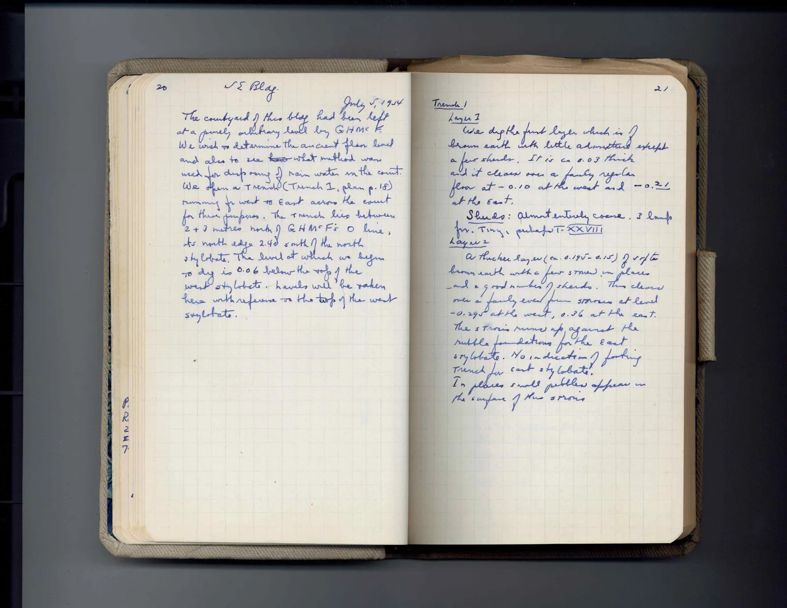
July 5, 1954The courtyard of this bldg had been left at a purely arbitrary level by GHMcF. We wish to determine the ancient floor level and also to see how what method was used for disposing of rain water in the court. We open a trench (Trench I, plan p. 18) running fr west to East across the court for these purposes. The trench lies between 2 + 3 metres north of GHMcF's O line, its north edge 2.40 south of the north stylobate. The level at which we begin to dig is 0.06 below the top of the west stylobate. Levels will be taken here with reference to the top tread of the west stylobate.
[margin left: P. R. 22 47.]
Right page
21
Trench I Layer 1 We dig the first layer which is of brown earth with little admixture except a few sherds. It is ca 0.03 thick and it clears over a fairly regular floor at - 0.10 at the west and - 0.21 at the east. Sherds: almost entirely coarse. 3 lamp frs. Tiny, perhaps T. XXVIII Layer 2 A thicker layer (ca. 0.145 - 0.15) of soft brown earth with a few stones in places and a good number of sherds. This clears over a fairly even firm strosis at level -0.295 at the west, 0.36 at the east. The strosis runs up against the rubble foundations for the east stylobate. No indication of footing trench for east stylobate. In places small pebbles appear in the surface of this strosis
65 figures hard to readstruck struck outadded written in above” jug ditto, and what it repeatsword reading not certain