
Page 60Scan 26 of 93
Continued from p. (59)
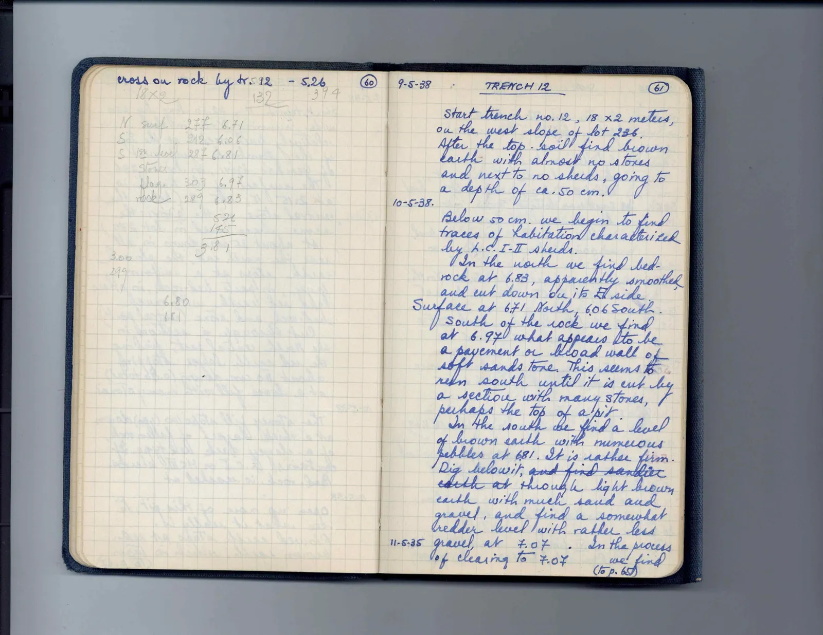
… cross on rock by tr. 512 - 5.26 60
18×2 132 394
N surf 277 6.71 S 212 6.06 S 1st level 287 6.81 stones flag 303 6.97 rock 289 6.83
526 145 3.81
3.00 299 6.80 181
Right page
9-5-38TRENCH 12
Start trench no. 12, 18 × 2 meters, on the west slope of Lot 236. After the top-soil find brown earth with almost no stones and next to no sherds, going to a depth of ca. 50 cm.
10-5-38 Below 50 cm. we begin to find traces of habitation characterized by L.C. I-II sherds. In the north we find bedrock at 6.83, apparently smoothed and cut down on its E. side. Surface at 6.71 North, 6.06 South. South of the rock we find at 6.97 what appears to be a pavement or broad wall of soft sand stone. This seems to run south until it is cut by a section with many stones, perhaps the top of a pit. In the south we find a level of brown earth with numerous pebbles at 6.81. It is rather firm. Dig below it, and find sandier earth at through light brown earth with much sand and gravel, and find a somewhat harder level with rather less
11-5-38gravel, at 7.07 . In the process of clearing to 7.07 we find (to p. 65)
65 figures hard to readstruck struck outadded written in above” jug ditto, and what it repeatsword reading not certain