
Unnumbered pageScan 52 of 53
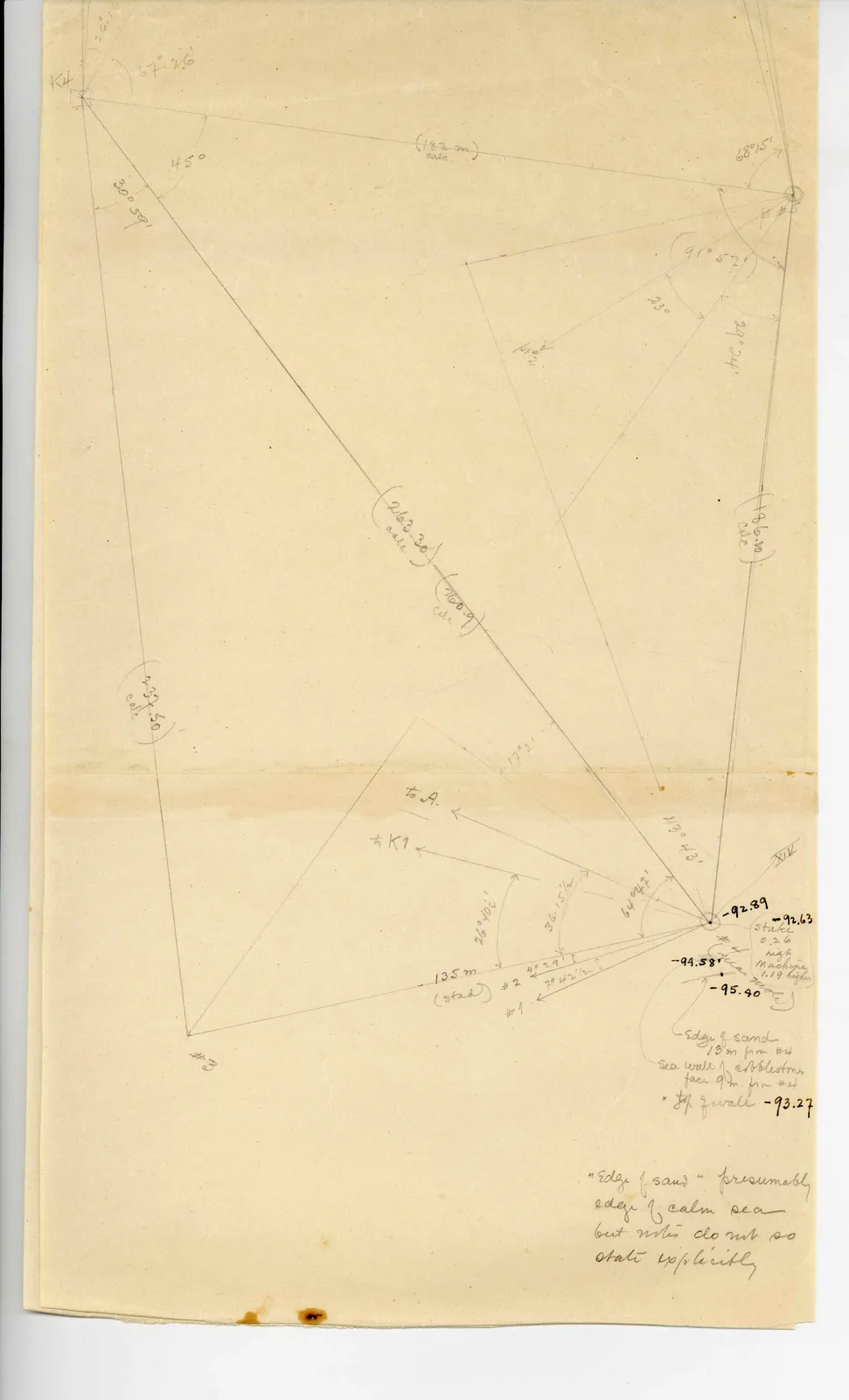
Drawing: geometric surveying triangulation diagram with angles, distances, and elevation measurements
26° 1' K4 67° 26' 45° 30° 59' (182 m) calc. 68° 15' pt # 5 (91° 57') 23° 29° 24' pt #2 (186.10) calc. (263.30) calc. (260.9) calc. (232.50) calc. 17° 2' to A. to K 1 26° 40' 36.15 1/2' 64° 42' 43° 43' XIX -92.89 -92.63 stake 0.26 high machine 1.19 higher -94.58 sea meas. -95.40 135 m (stad) # 2 4° 29 1/2 7° 42 1/2 # 1 # 3 "Edge of sand" 13 m from # 4 Sea wall of cobblestones face 9 m. from # 4 x top of wall -93.27 ]
"Edge of sand" presumably edge of calm sea but notes do not so state explicitly
65 figures hard to readstruck struck outadded written in above” jug ditto, and what it repeatsword reading not certain