
Plan·KIT19-NIMFO-0144·2019
Digital elevation model of the Mound, Kition
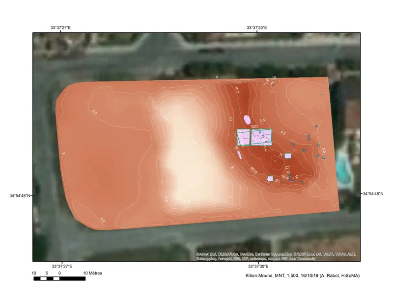
Plan
English, translated from the French record
Digital terrain model (MNT) of the Mound at Kition, 2019 season. The model is a GIS-based elevation representation of the Mound.
French, as on the record
MNT du Mound
Corrections and additions
Can you tell us more about this?
If you can identify, date or place this item, or know where else it is recorded, we would like to hear.
We would like to hear about
- What it shows or records
- Its date, place or author
- Where else it is published or held
- A mistake in our description
Tell us if you would like to be thanked by name on the page.
More from Kition
606 items in the archiveThe site →
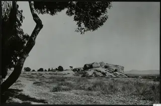 C01711Kition, Bamboula from the south
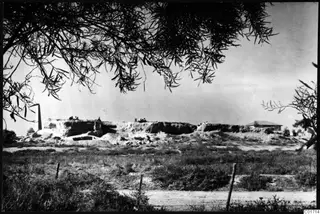 C01714Bamboula from the east, Kition
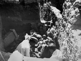 C01717Kristos and Alfred Westholm excavating at Kition
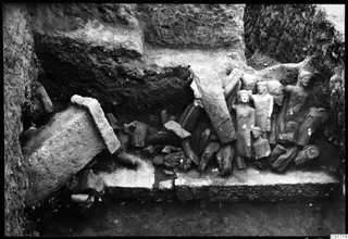 C01719Kition cult room, statues in situ
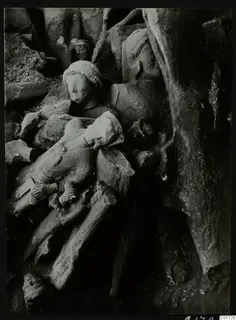 C01726The cult room at Kition, the big deposit: detail of sculptures, bodies and heads
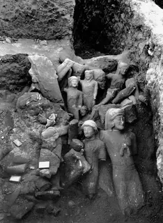 C01728Cult room, large deposit at Kition, detail with larger sculptures
Photographs: Swedish Cyprus Expedition, Medelhavsmuseet, Stockholm (CC0)