
Page 30Scan 31 of 53
Thursday 05 October 1995
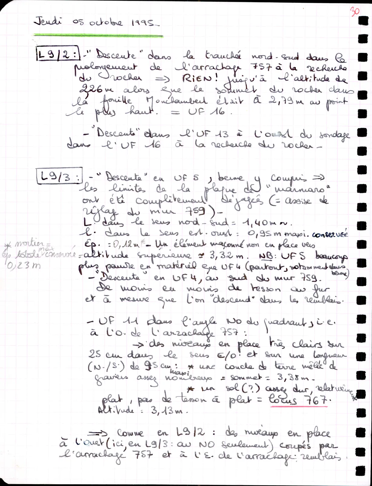
L9/2: -"Descent" in the north-south trench in the extension of the pit 757, searching for the bedrock => NOTHING! down to the altitude of 2.26 m, whereas the top of the bedrock in the Monchambert excavation was at 2.79 m at its highest point. = UF 16.
- "Descent" into UF 13 west of the sounding in UF 16, searching for the bedrock -
L9/3 : - "Descent" in UF 5, baulk included => the limits of the "marmaro" slab have been completely cleared (= bedding of levelling of wall 759)- L. in the north-south direction = 1.40 m ~. l. in the east-west direction = 0.95 m max. preserved * mortar = | thickness = 0.12 m *- A masonry element not in place towards total thickness max preserved = | upper altitude ~ 3.32 m. NB : UF 5 much 0.23 m | poorer in material than UF 4 (everywhere, especially in - "Descent" in UF 4, south of wall 759. baulk) Less and less sherds as one "descends" into the fills.
- UF 11 in the NW corner of the quadrant, i.e. to the W. of pit 757: -> levels in place very clear on 25 cm in the E/W direction and over a length (N./S.) of 95 cm max : * a layer of earth mixed with fairly numerous gravels = top = 3.38 m.
*a floor (?) fairly hard, relatively flat, no sherds flat = locus 767. Altitude = 3.13 m.
=> As in L9/2: levels in place to the west (here, in L9/3: to the NW only) cut by pit 757 and to the E. of the pit: fills.
65 figures hard to readstruck struck outadded written in above” jug ditto, and what it repeatsword reading not certain